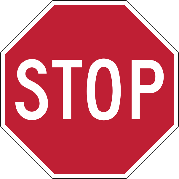
Come to a complete stop, then go when the way is clear
The eight-sided red STOP sign requires a complete stop at the stop line, crosswalk or intersection edge.
Shape and colour tell you a lot: yellow diamond — warning, orange diamond — temporary/construction, white rectangle — regulatory, green — guide.
The eight-sided red STOP sign requires a complete stop at the stop line, crosswalk or intersection edge.
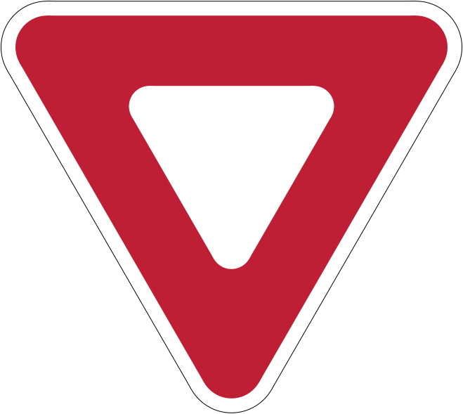
The triangular white sign with a red border means let traffic in or near the intersection go first.
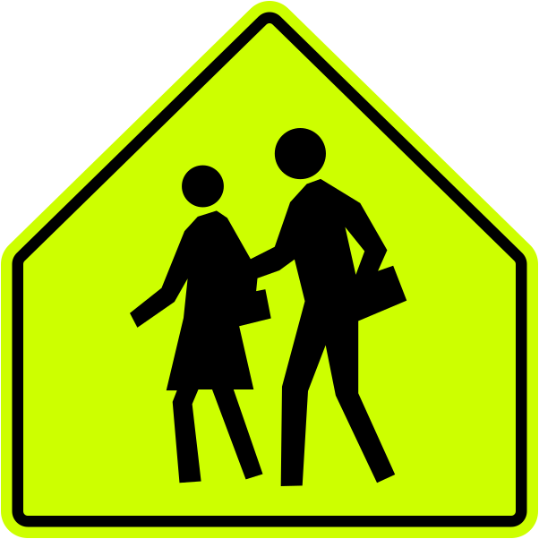
The five-sided fluorescent yellow-green sign warns you are in a school zone.

The X-shaped white sign with a red outline marks a railway crossing; be ready to stop.
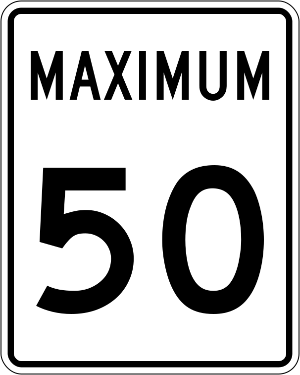
This regulatory sign shows the maximum speed allowed in ideal conditions.
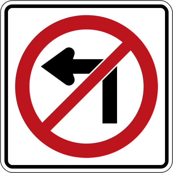
A red circle with a line through a symbol means that action is not allowed.
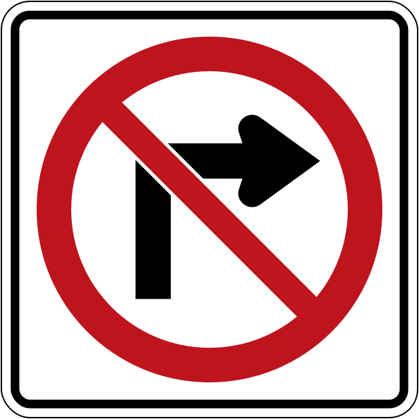
The red circle and slash over a right-turn arrow prohibit turning right here.
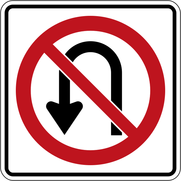
This sign prohibits turning around to go in the opposite direction.
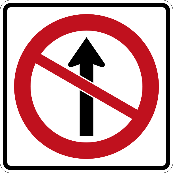
The slashed straight arrow means you may not continue straight through the intersection.
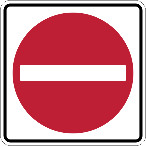
This sign marks roads you must not enter, such as the wrong end of a one-way street.
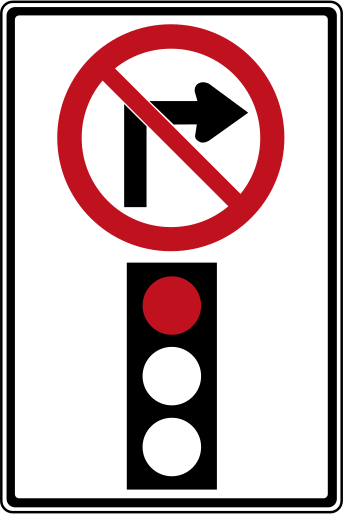
Normally you may turn right on red after stopping; this sign prohibits it at this intersection.
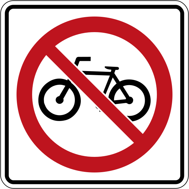
A red circle with a slash over a bicycle means bicycles are not allowed on this road.
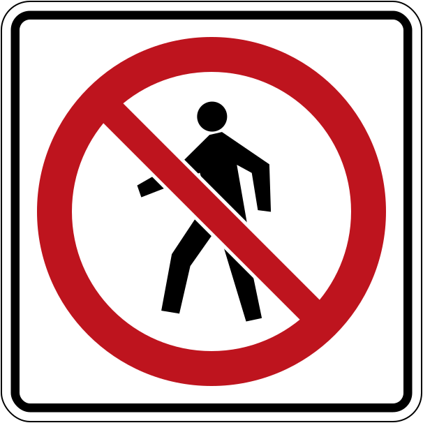
This sign prohibits pedestrians from using this road, for example on freeways.
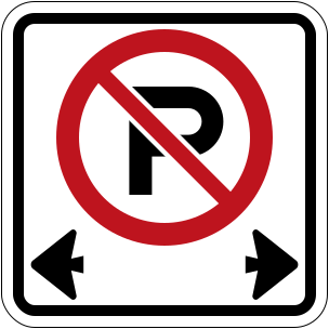
The P with a red circle and slash means you may not park in the area between these signs.
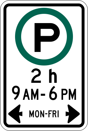
A green circle means the activity shown is allowed.
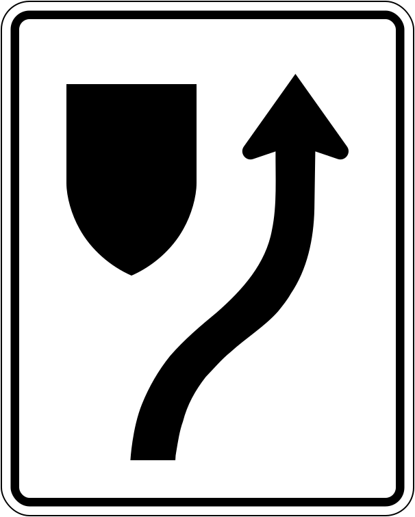
This sign tells you to pass on the right side of a traffic island or obstacle.
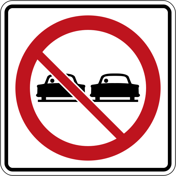
This sign means passing other vehicles is not allowed on this section of road.
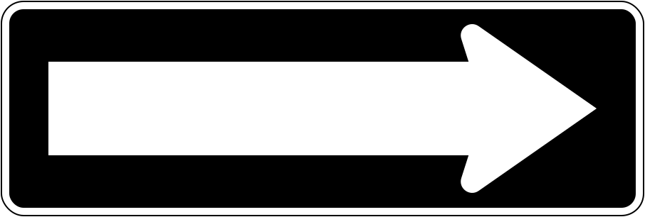
Traffic on this road travels only in the direction the arrow points.
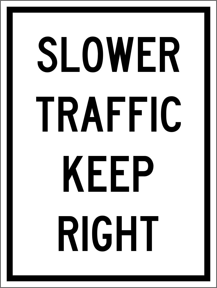
If you are driving slower than other traffic, stay in the right-hand lane.
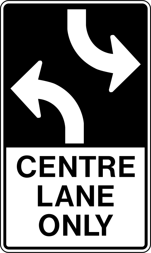
The centre lane may be used only for left turns by traffic from both directions — never for passing.
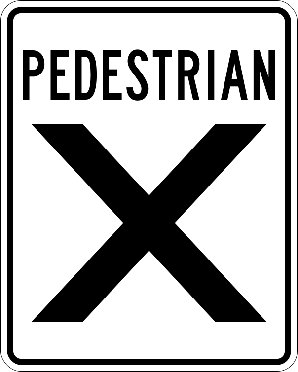
At a pedestrian crossover, drivers must stop and wait until pedestrians have completely crossed.
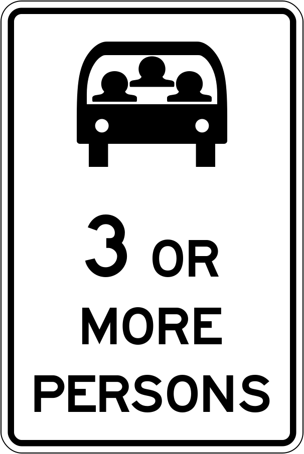
The white diamond marks a reserved lane; only vehicles with the number of occupants shown may use it.
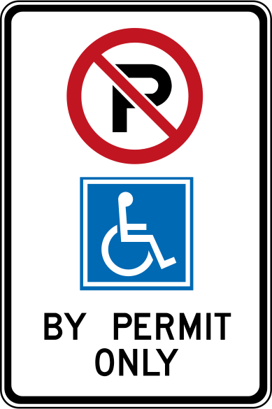
Only vehicles with a valid Accessible Parking Permit for the driver or a passenger may park here.
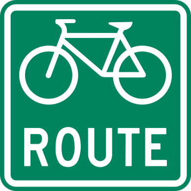
This sign marks an official bicycle route — watch for cyclists.
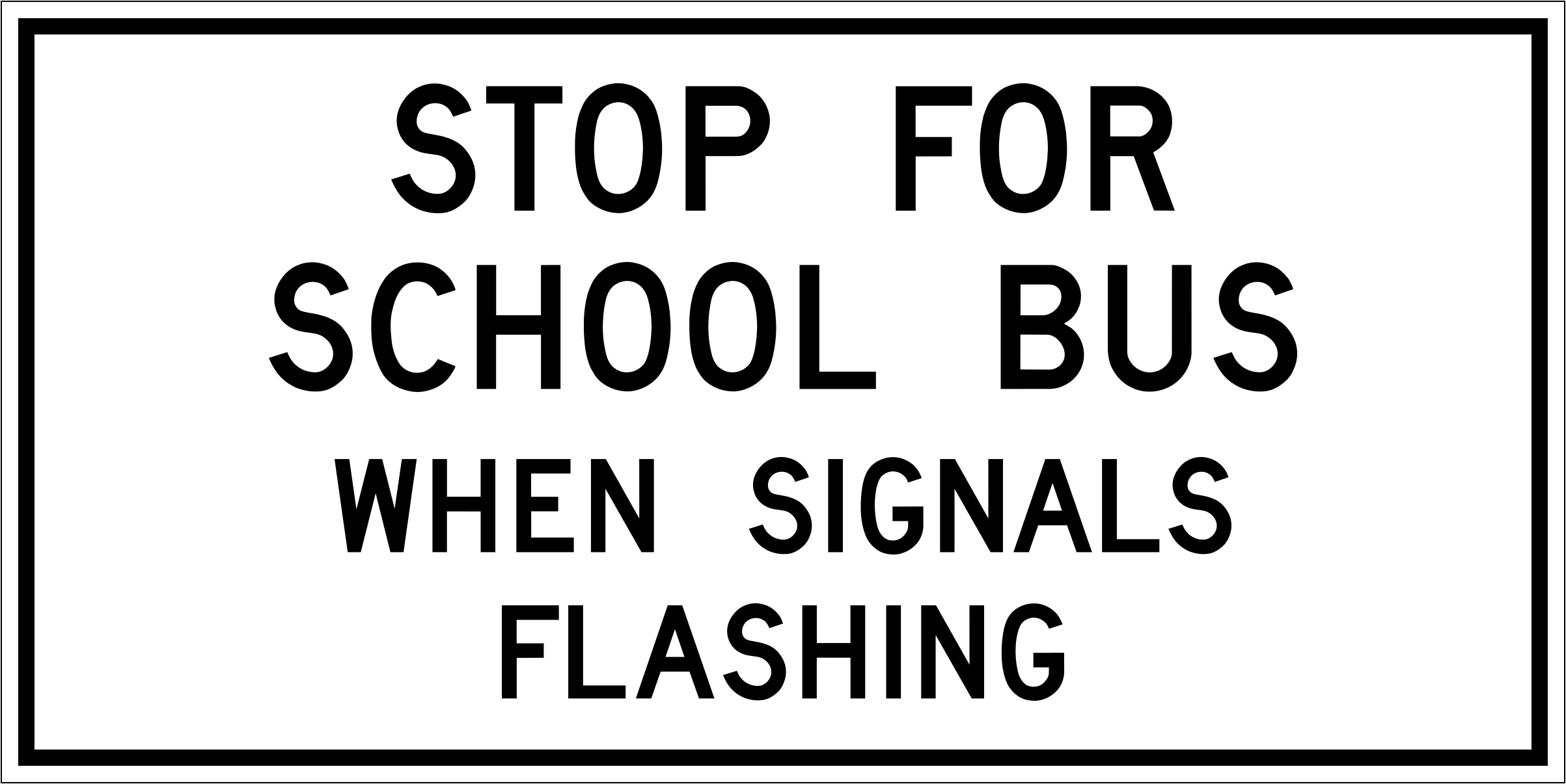
You must stop for a school bus with flashing red lights or an extended stop arm.
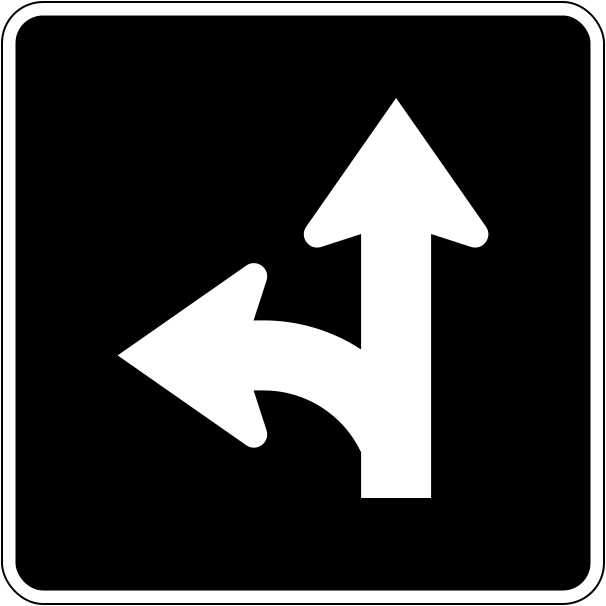
Lane-direction signs show which movements are allowed from the lane.
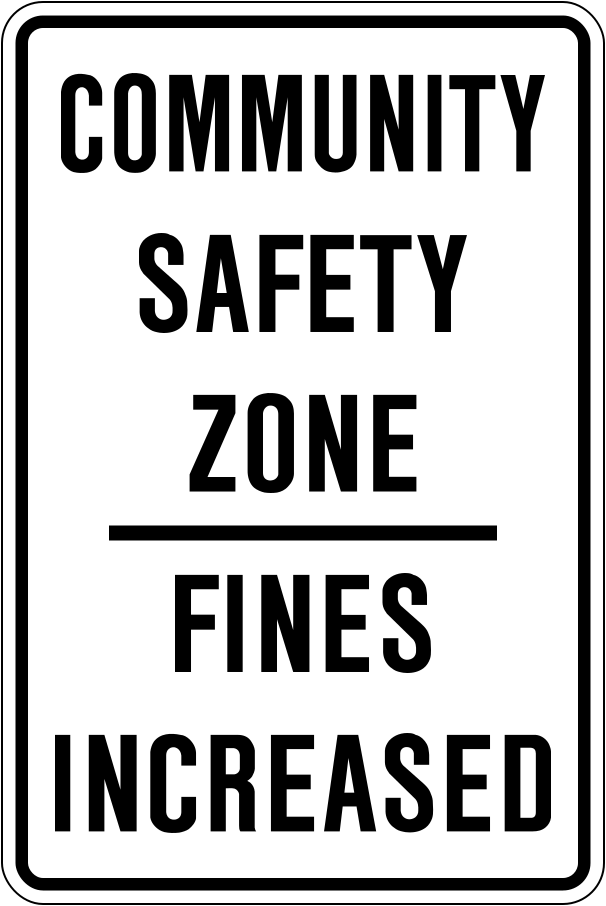
In a community safety zone, public safety is a special concern and fines for traffic offences are increased.
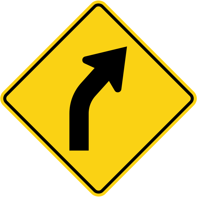
Yellow diamond-shaped signs warn of hazards; this one shows a curve ahead.
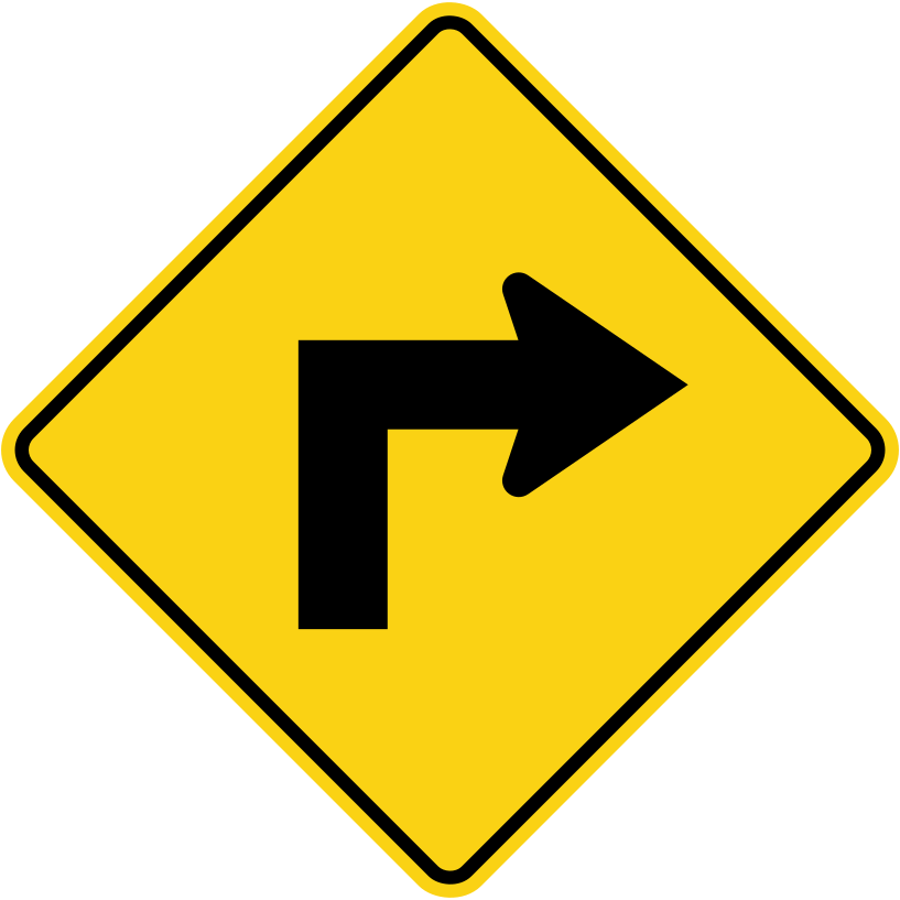
This sign warns of a sharp turn; slow down before you reach it.
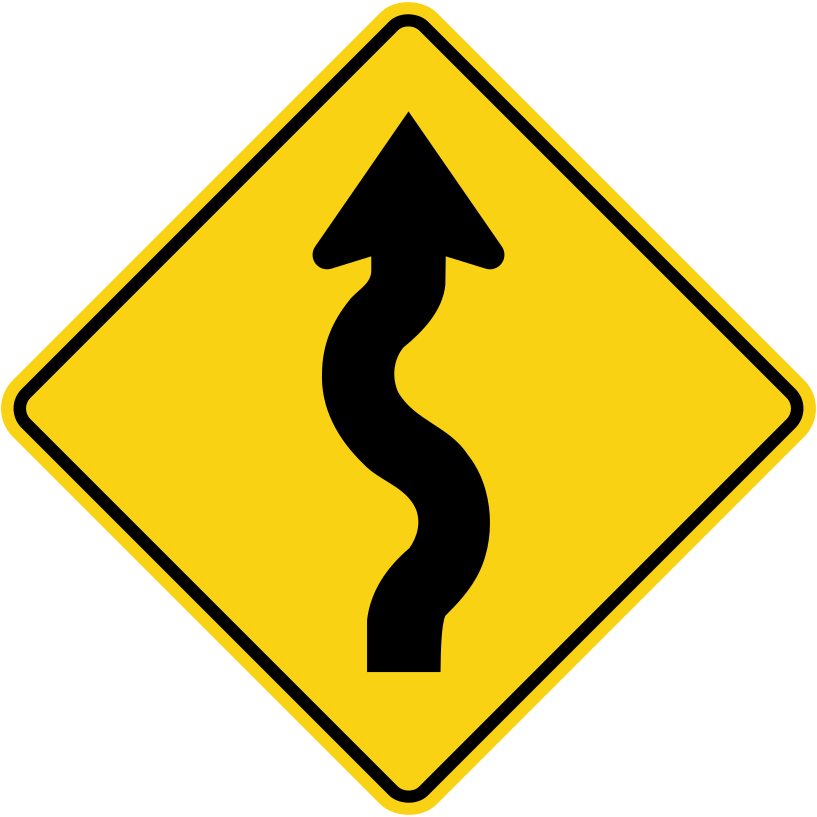
The road ahead has a series of curves; slow down.
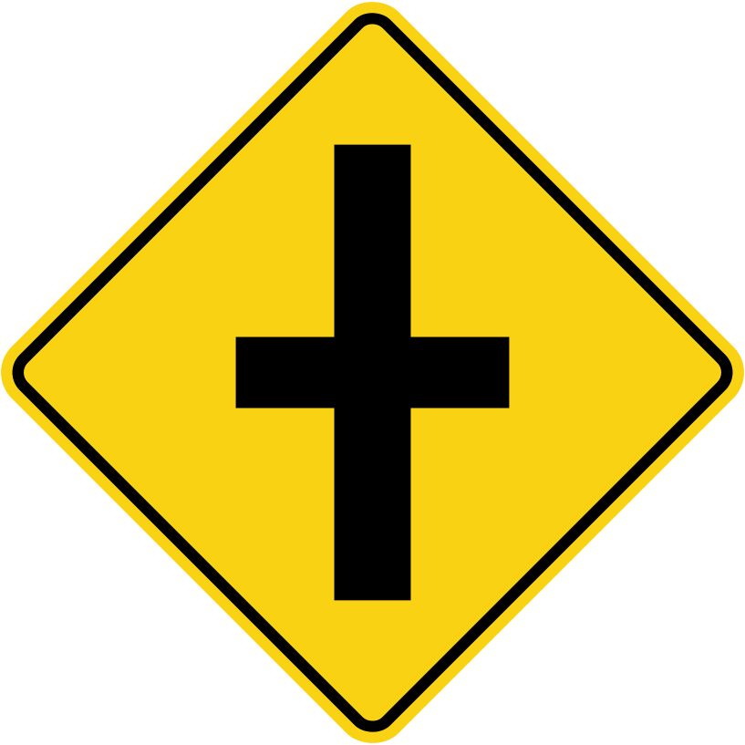
This sign warns of a crossroad ahead; be ready to yield.
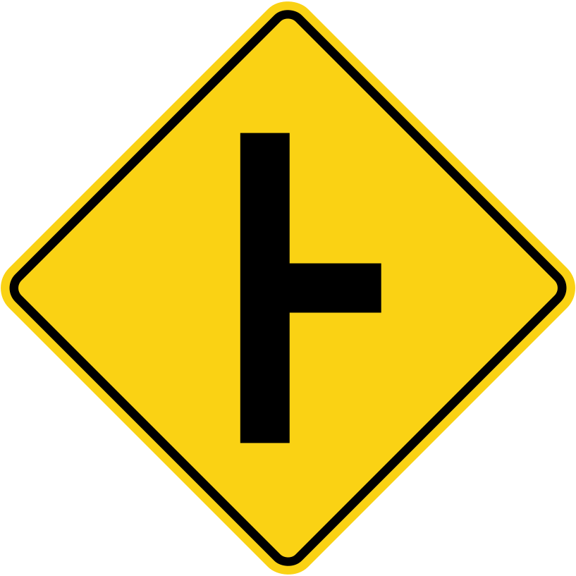
Watch for vehicles entering or leaving from the side road.
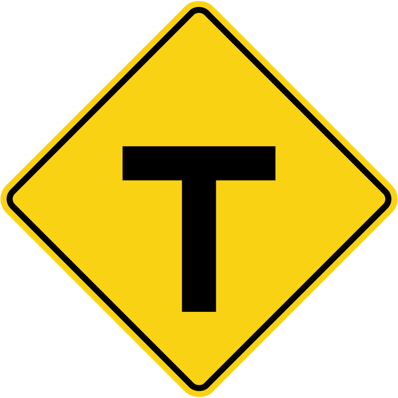
At a T-intersection you must yield and turn left or right.
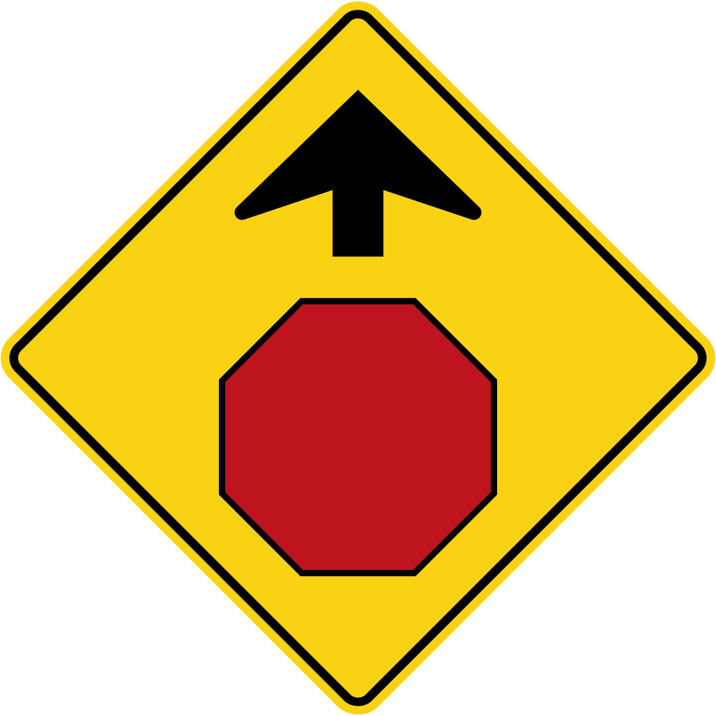
This warning sign tells you a stop sign is coming; be prepared to stop.
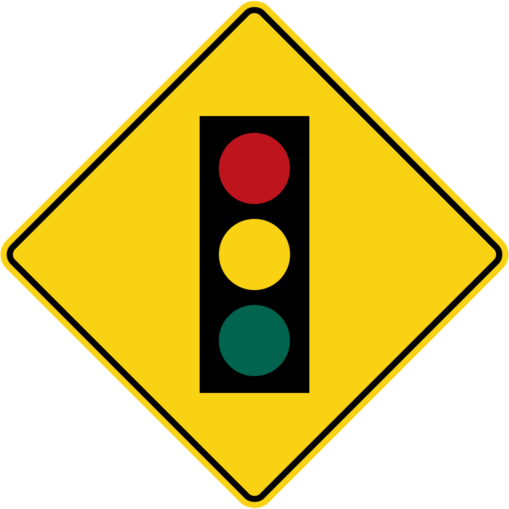
Slow down and be ready to stop for the traffic signals ahead.
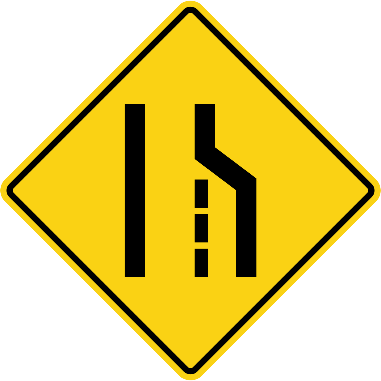
If you are in the right lane, merge with traffic in the left lane when it is safe.
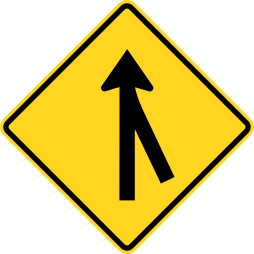
Traffic is merging; adjust speed and space so vehicles can join safely.
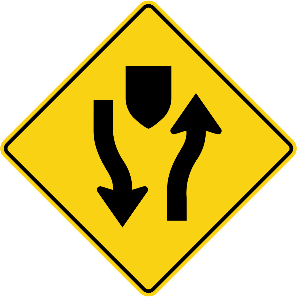
The road ahead is split by a median; stay to the right.
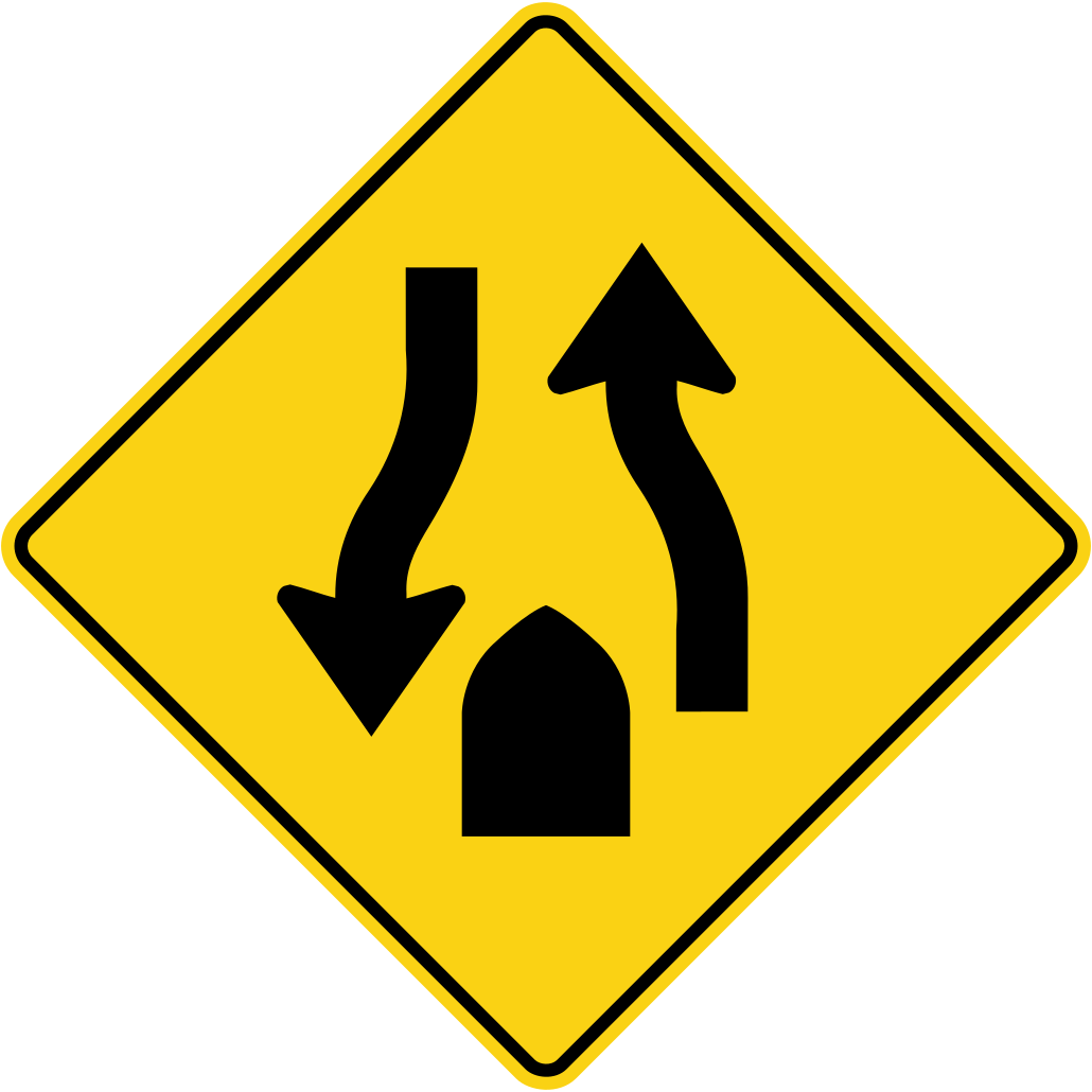
Ahead there is no median; keep right and watch for oncoming traffic.
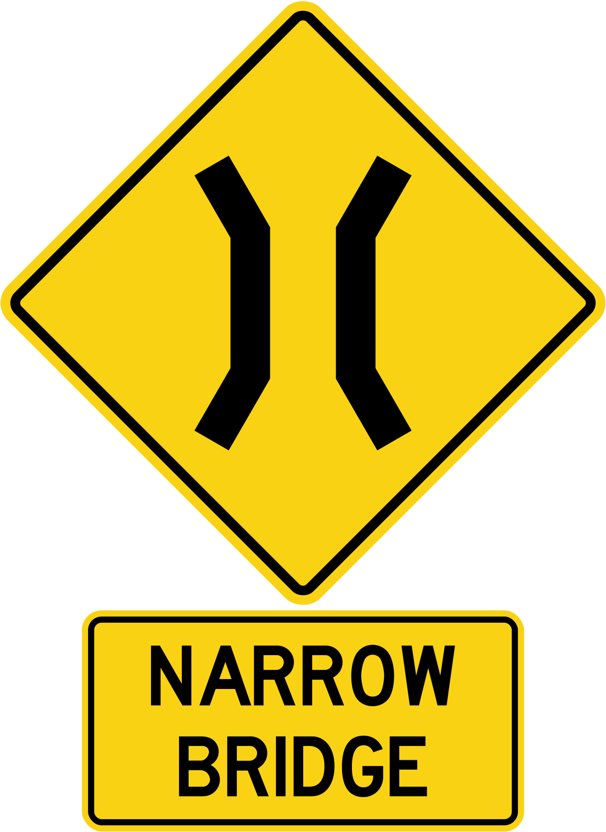
The bridge ahead is narrower than the road; slow down and be ready to yield.
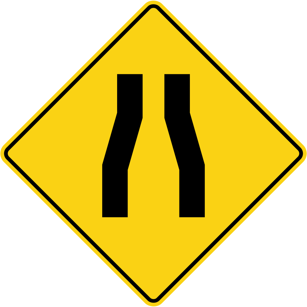
The paved road gets narrower ahead.
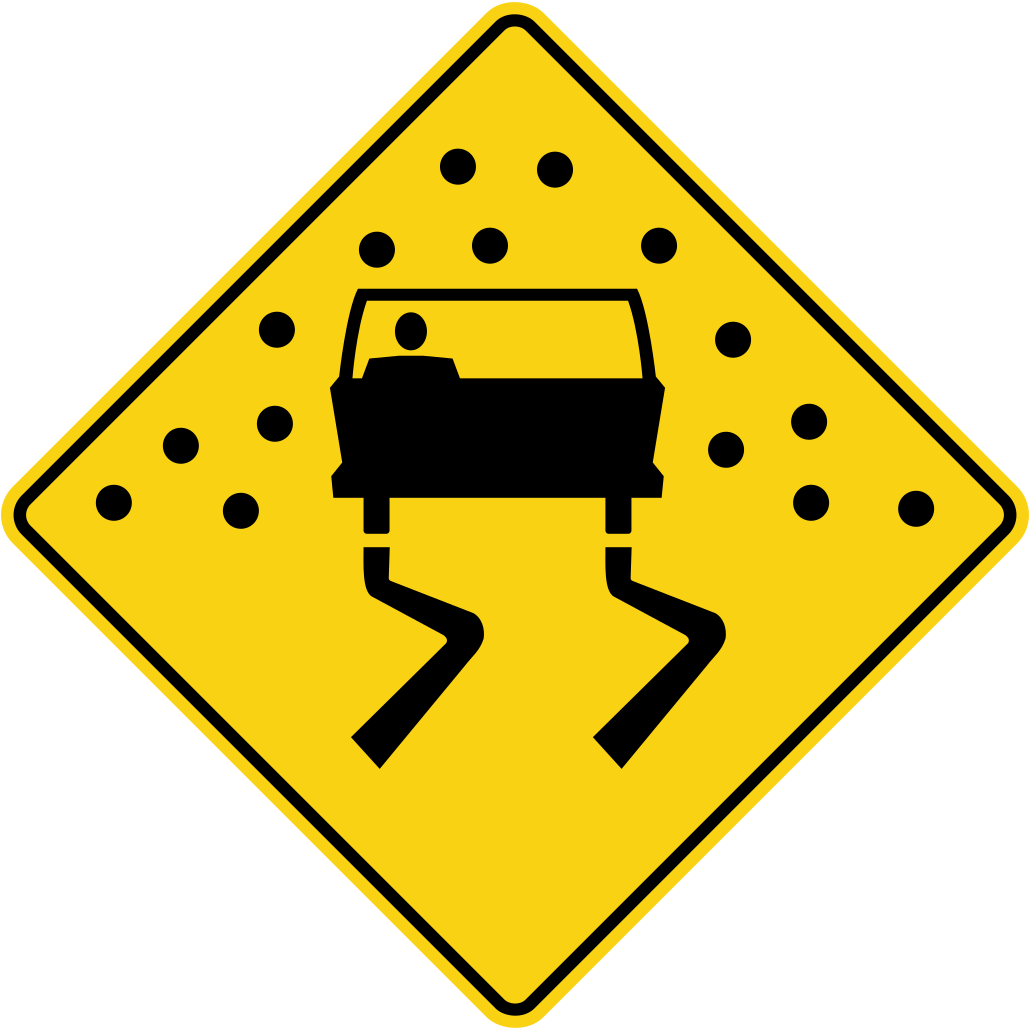
Slow down when the road is wet and avoid sudden braking or steering.
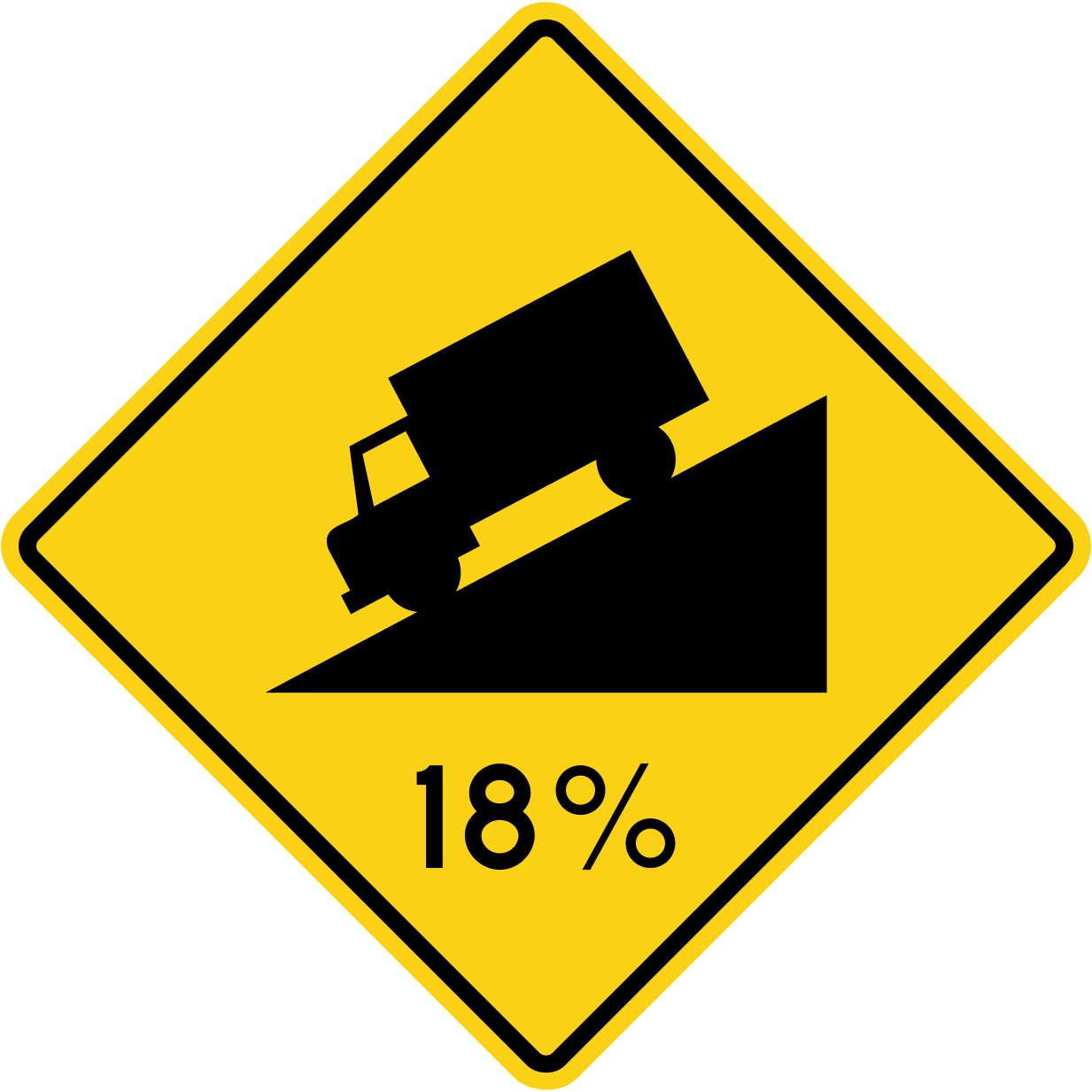
Steep hills may require a lower gear to control speed, especially for trucks.
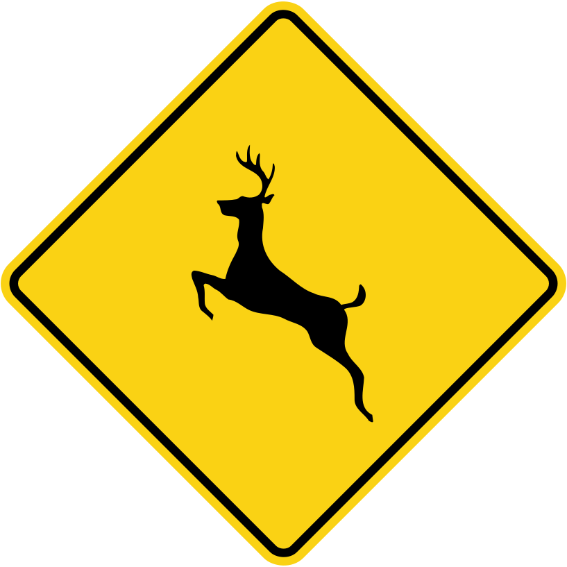
Watch for animals, especially at dawn and dusk; slow down and be ready to stop.
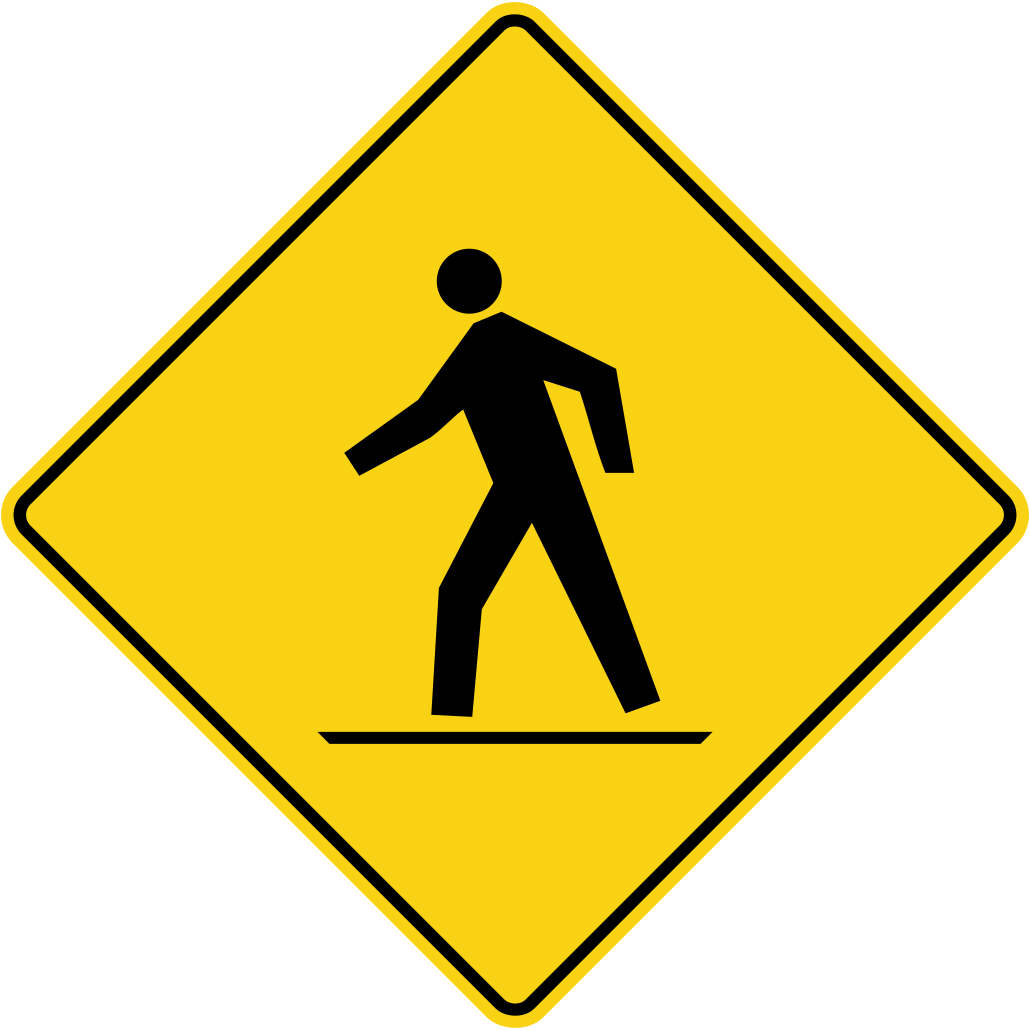
Watch for people walking on or crossing the road ahead.
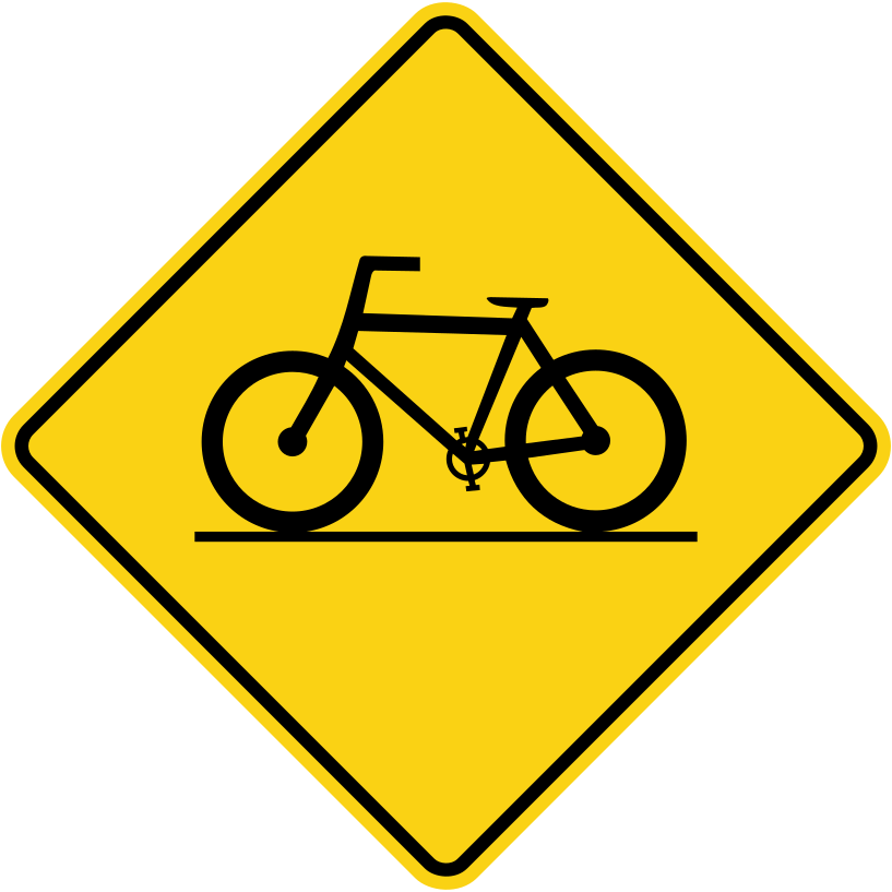
Watch for cyclists crossing the road ahead.
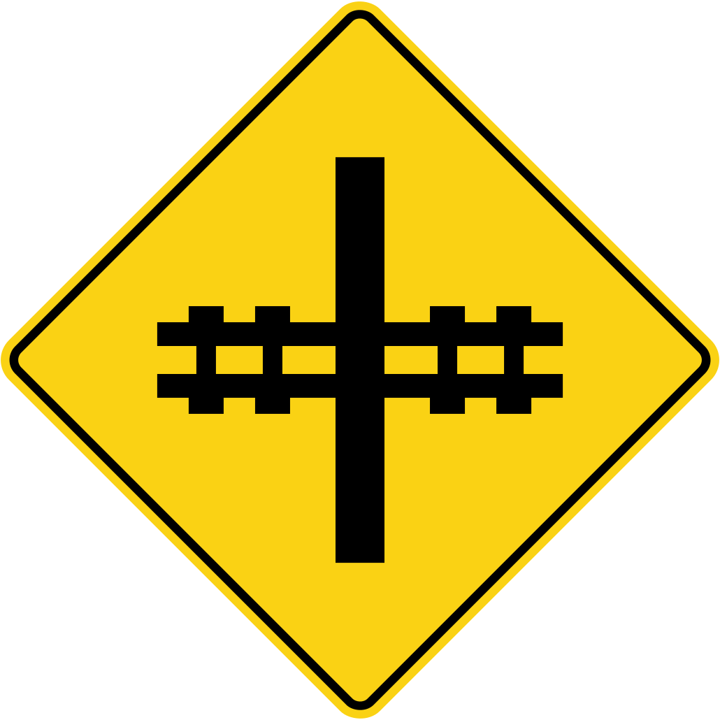
Slow down, look and listen for trains, and be ready to stop.
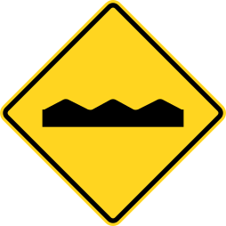
Slow down and keep control of your vehicle on the uneven road.
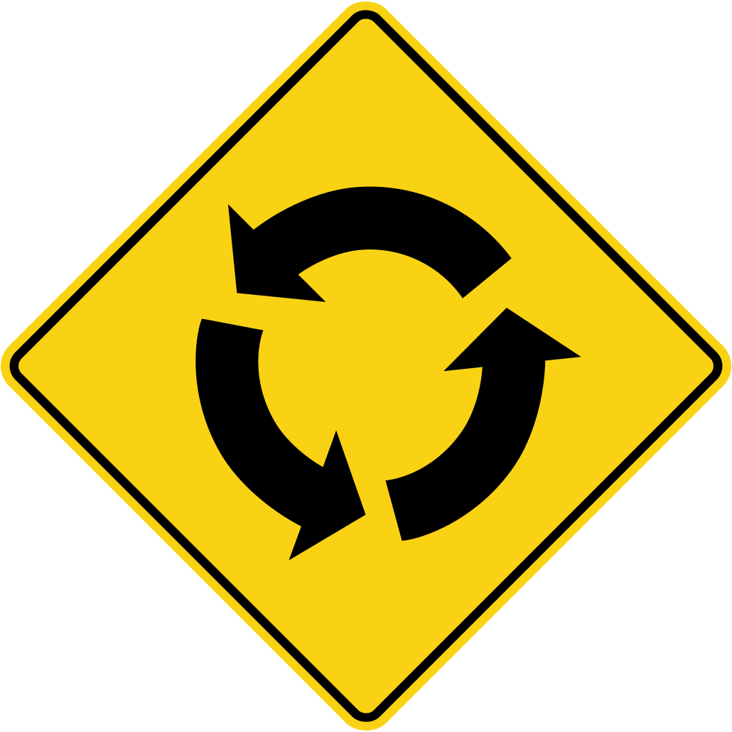
Slow down, yield to traffic already in the roundabout, and travel counter-clockwise.
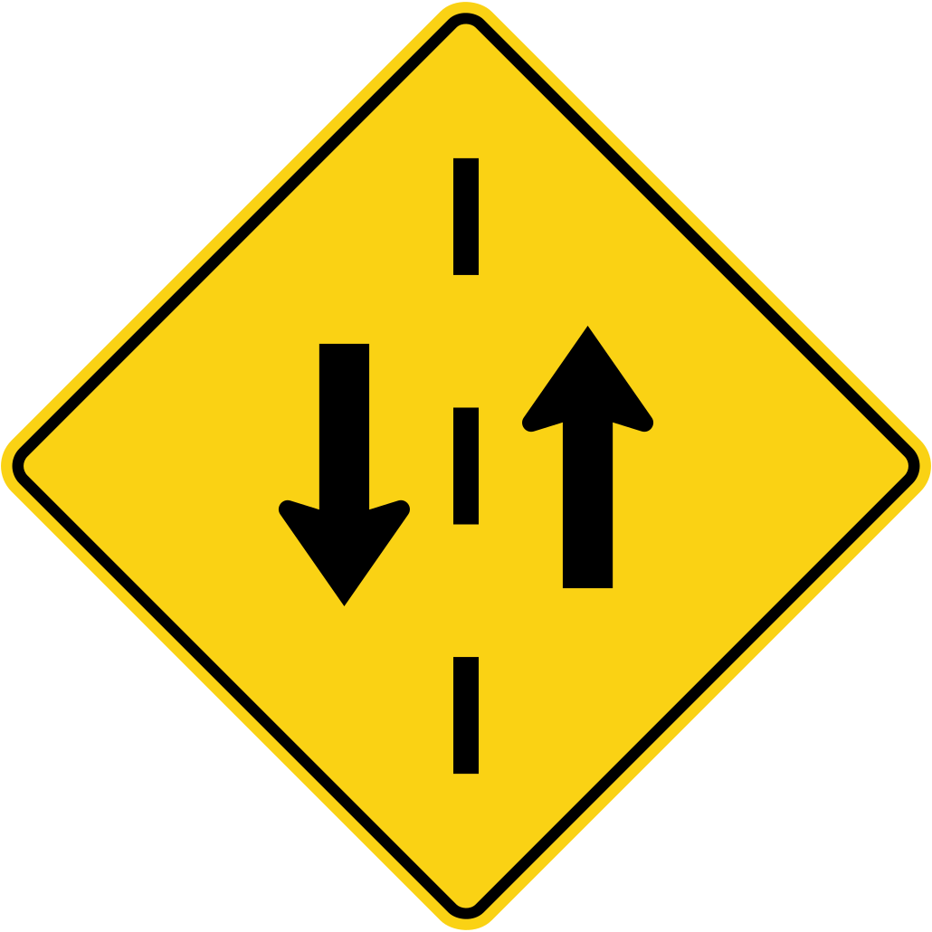
The road ahead carries traffic in both directions; keep right.
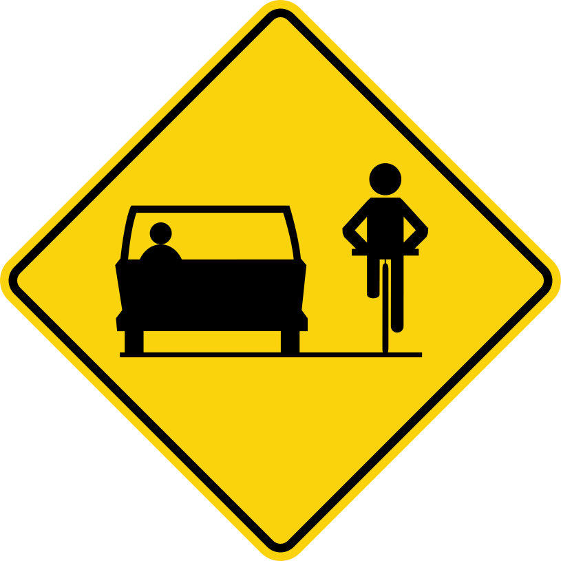
Drivers and cyclists share this road; give cyclists at least one metre when passing.

Hazard markers show an obstruction near the road; the lines slope down toward the side on which to pass.
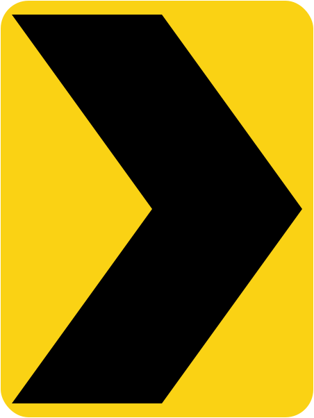
Chevron signs are posted in groups around sharp curves to guide drivers.
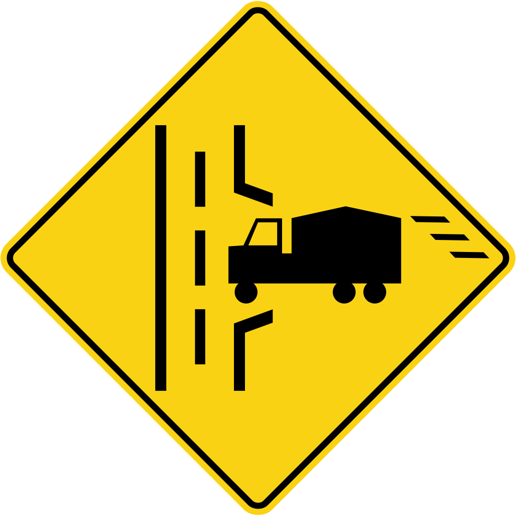
Watch for trucks entering the road; they may need time and space to accelerate.
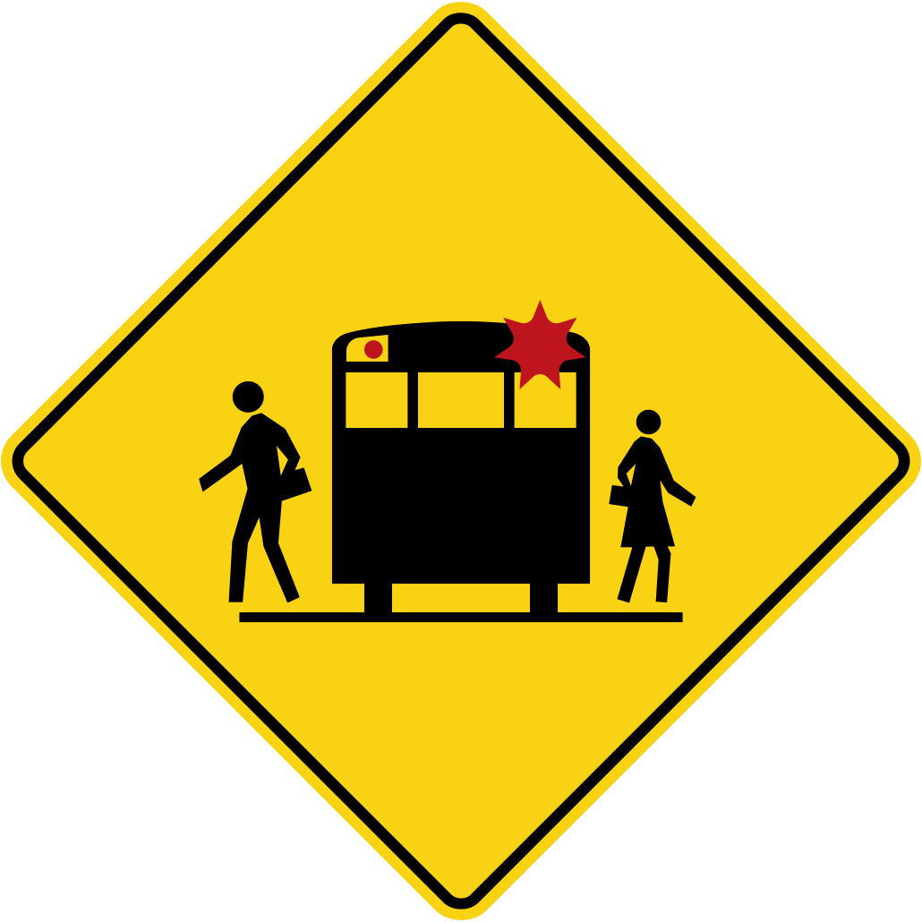
A school bus may be stopped ahead where you can't see it in time; slow down and be ready to stop.
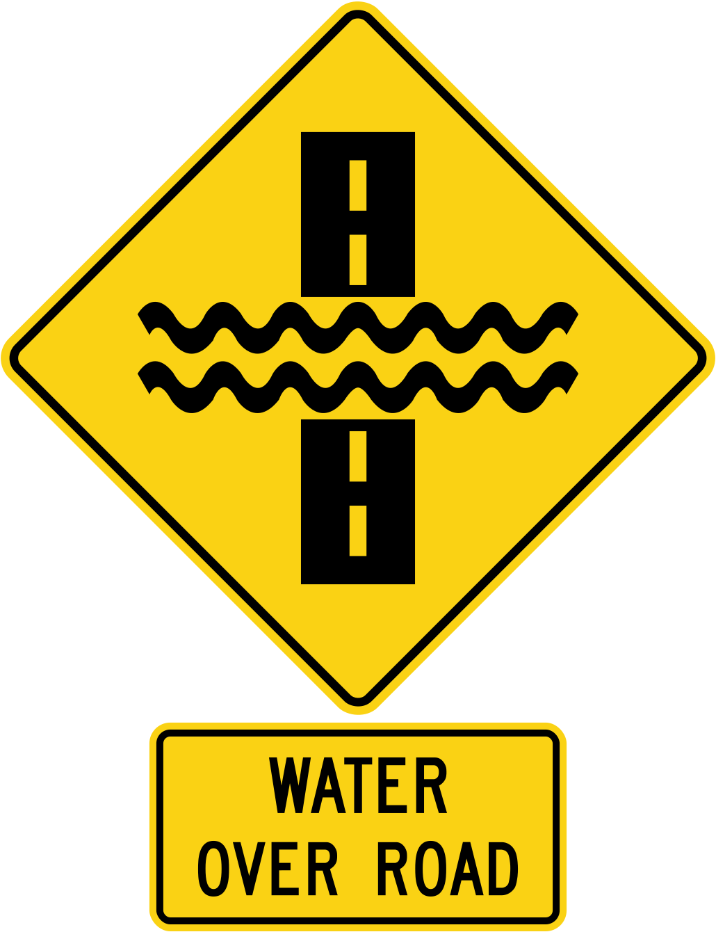
Water on the road can hide hazards and affect your brakes; slow down or find another route.
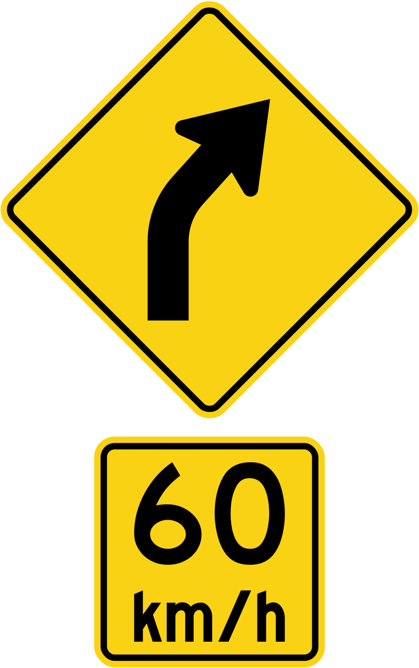
A speed tab under a curve sign gives the advised safe speed for the curve.
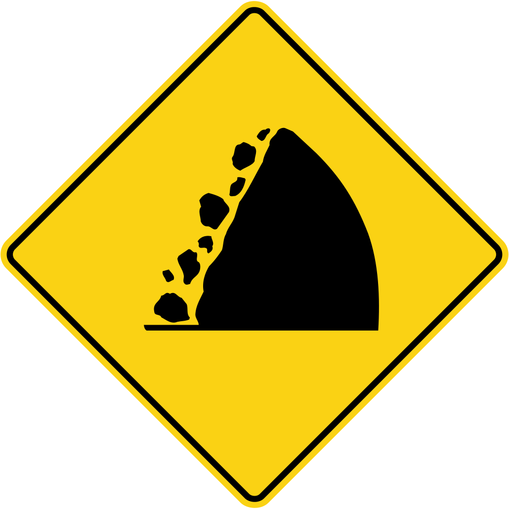
Rocks may fall onto the road in this area; be alert.
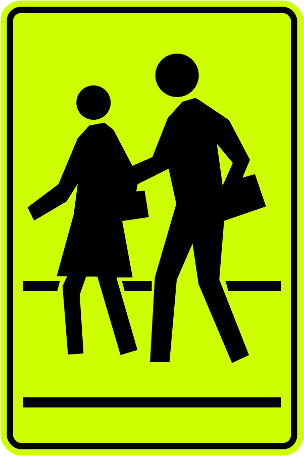
Slow down and obey the school crossing guard or safety patroller.
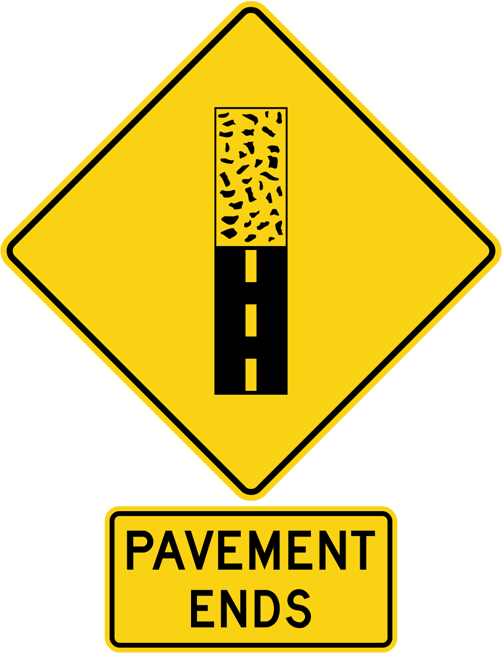
The road changes from pavement to gravel or dirt; slow down.
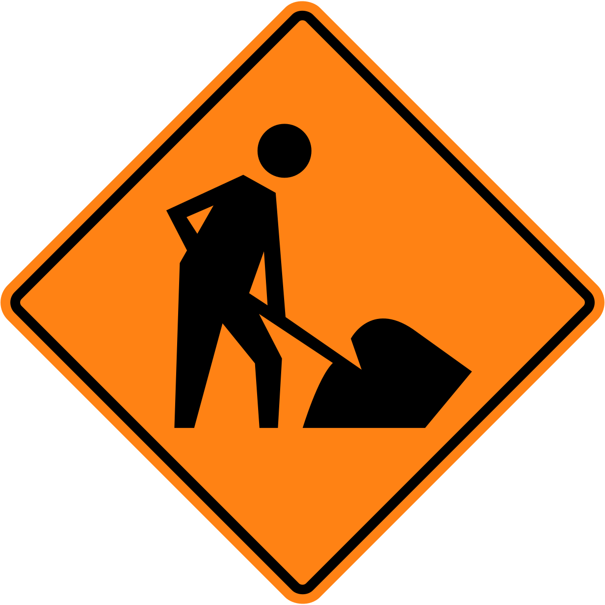
Orange diamond signs warn of temporary conditions such as construction work.
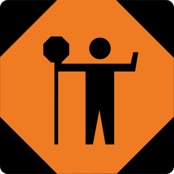
Obey the STOP or SLOW sign held by the traffic control person.
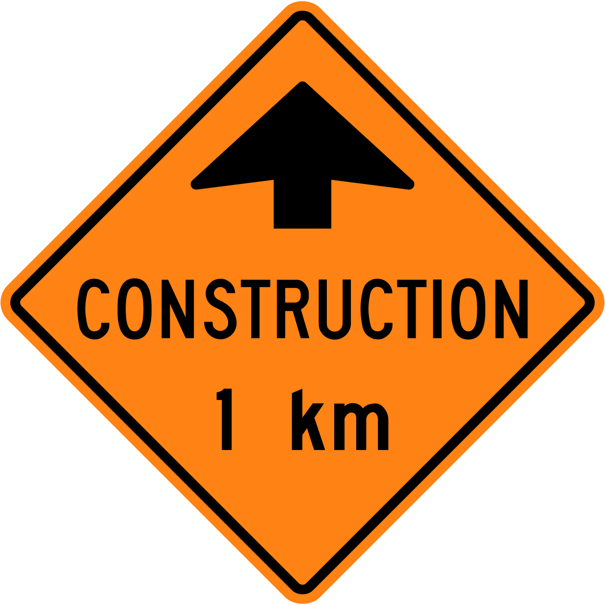
Be ready for lower speeds, lane changes and workers on the road ahead.
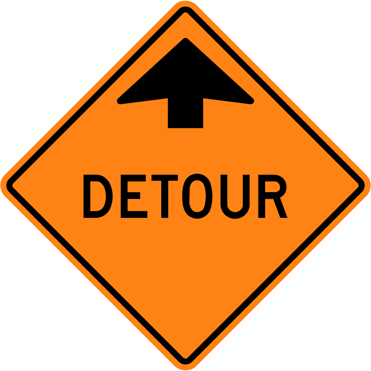
Follow the detour markers to get around the closure and back to your route.
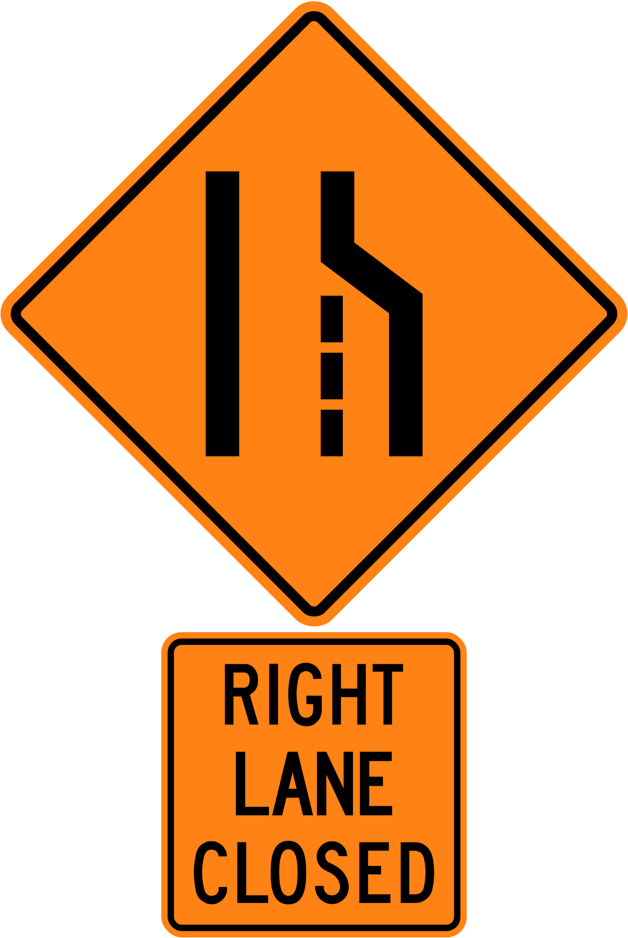
A lane is closed for roadwork; adjust speed and merge into the open lane safely.
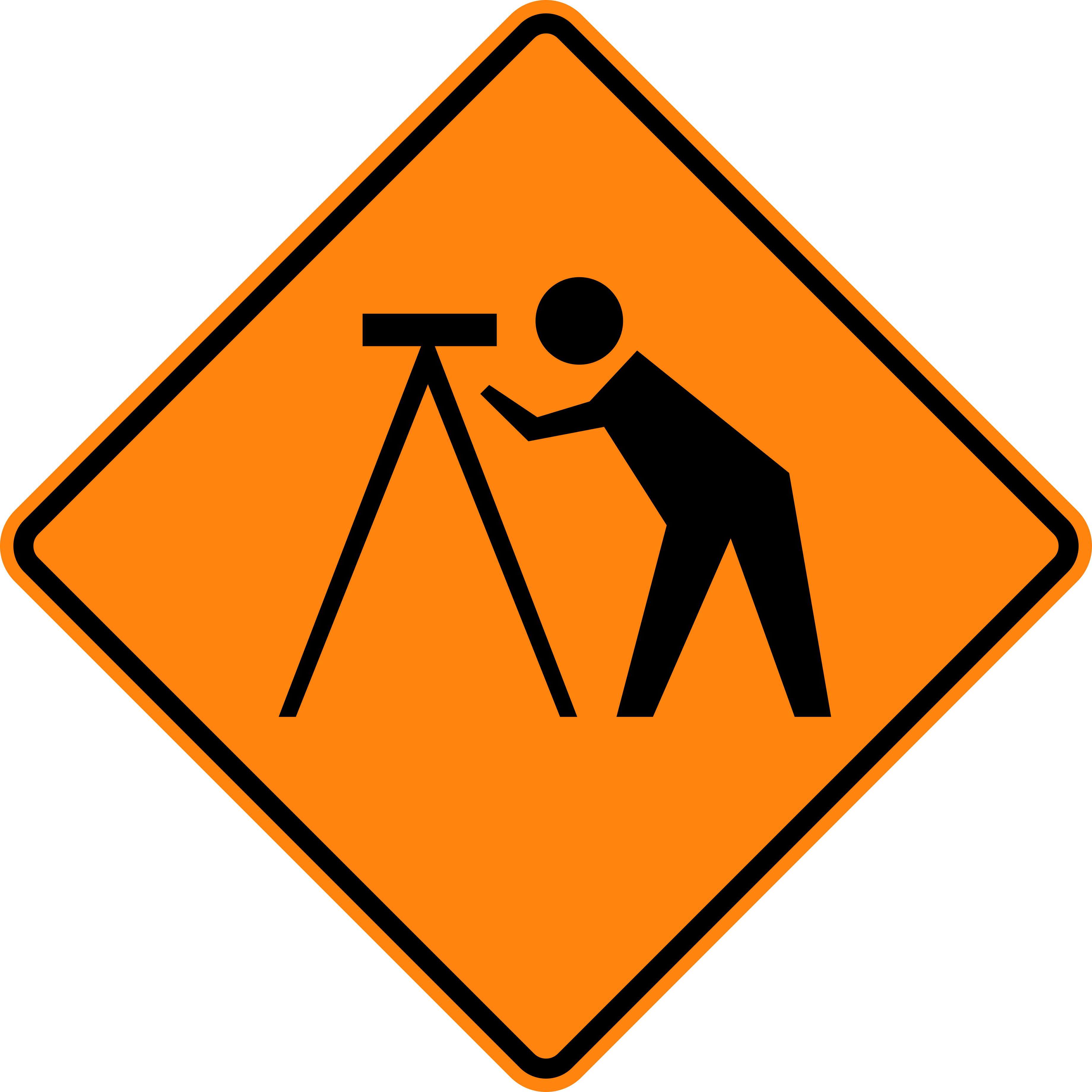
People are surveying on or near the road; slow down and watch for them.
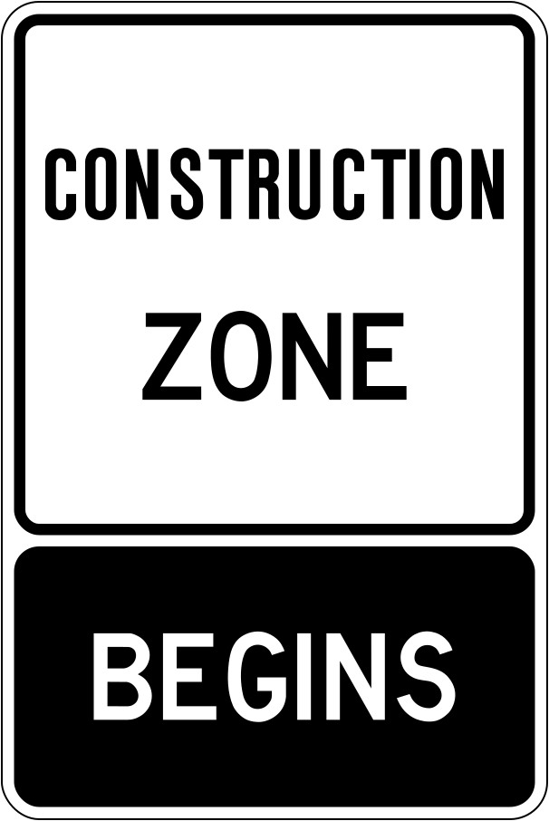
In a designated construction zone, Highway Traffic Act speeding fines are doubled when workers are present.
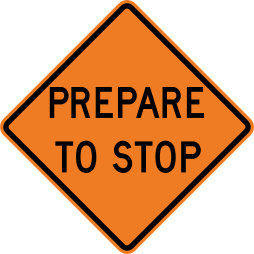
Traffic may be stopped ahead in the work zone.
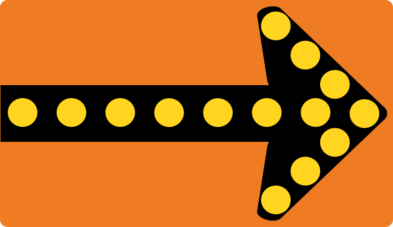
Arrow boards in work zones direct you to change lanes in the direction shown.
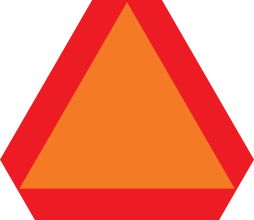
Farm tractors and other slow vehicles display this orange triangle with a red border.
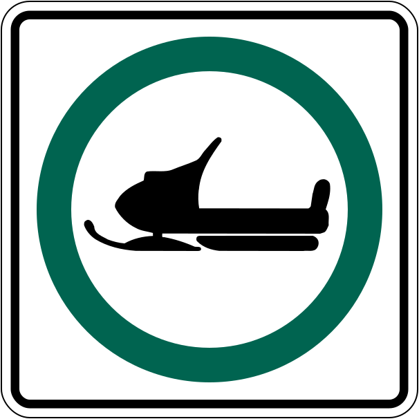
A green circle means the activity shown is allowed — here, snowmobiles.
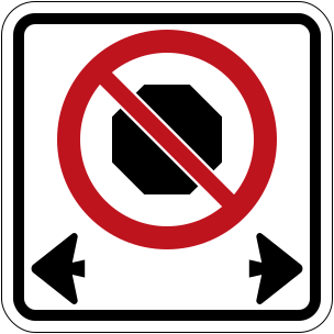
You may not stop your vehicle at all between these signs, not even briefly.
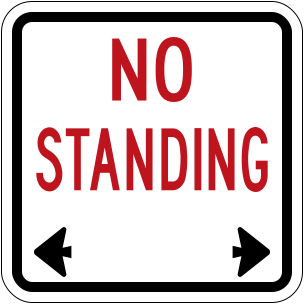
You may stop only briefly to let passengers get in or out.
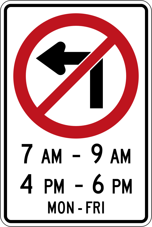
The prohibition applies only during the hours and days shown on the sign.
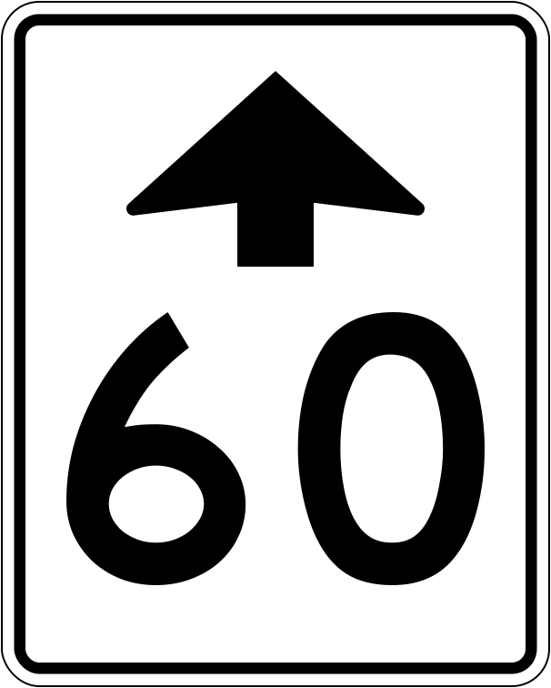
This sign warns that a lower speed limit begins ahead.
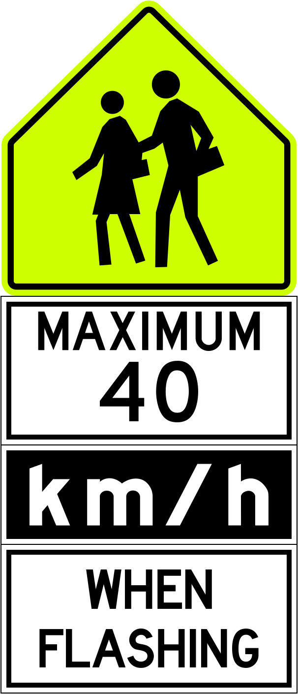
This reduced speed limit applies during school hours, when the yellow lights flash.
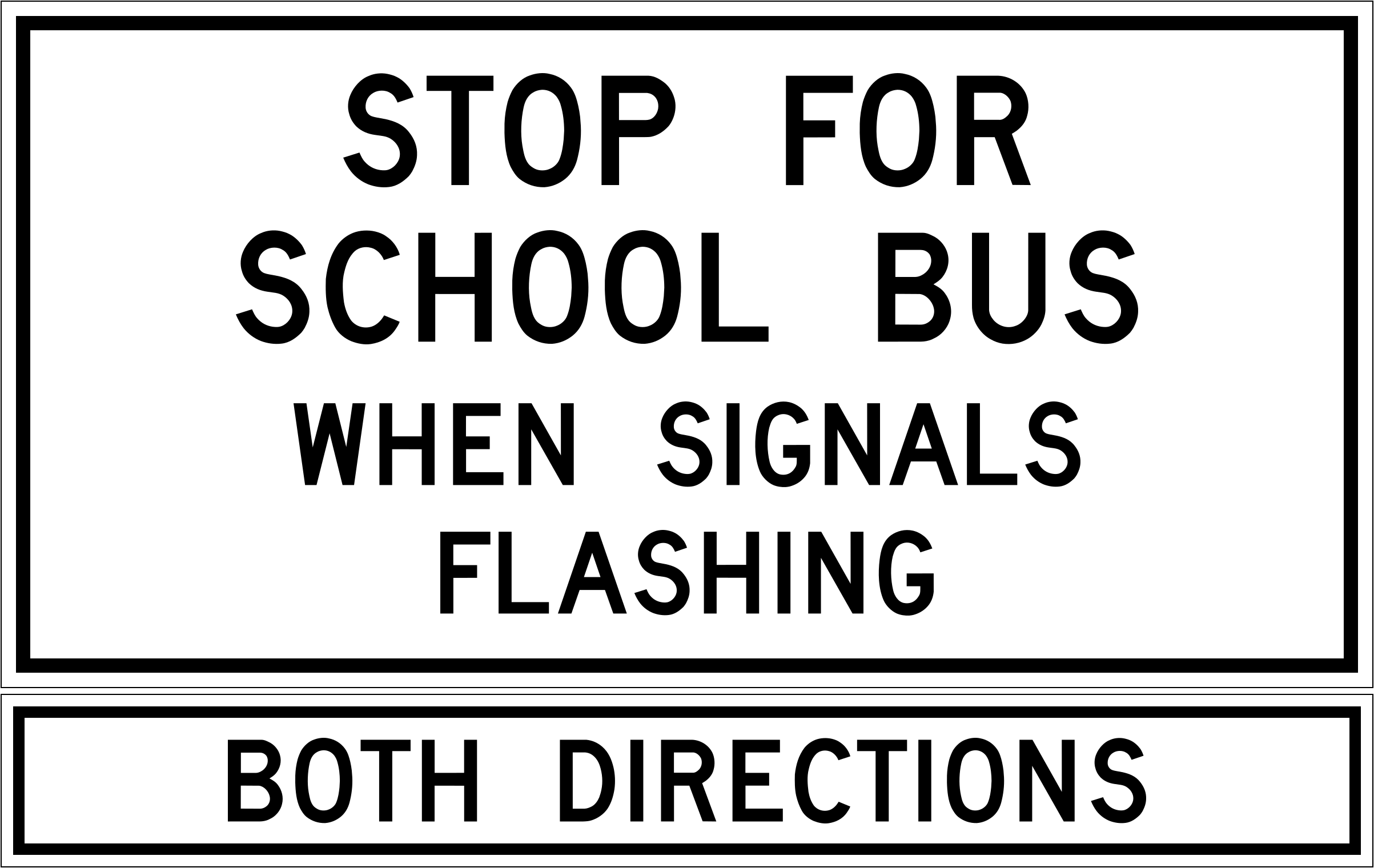
Without a median, vehicles coming from both directions must stop for a school bus with its red lights flashing.
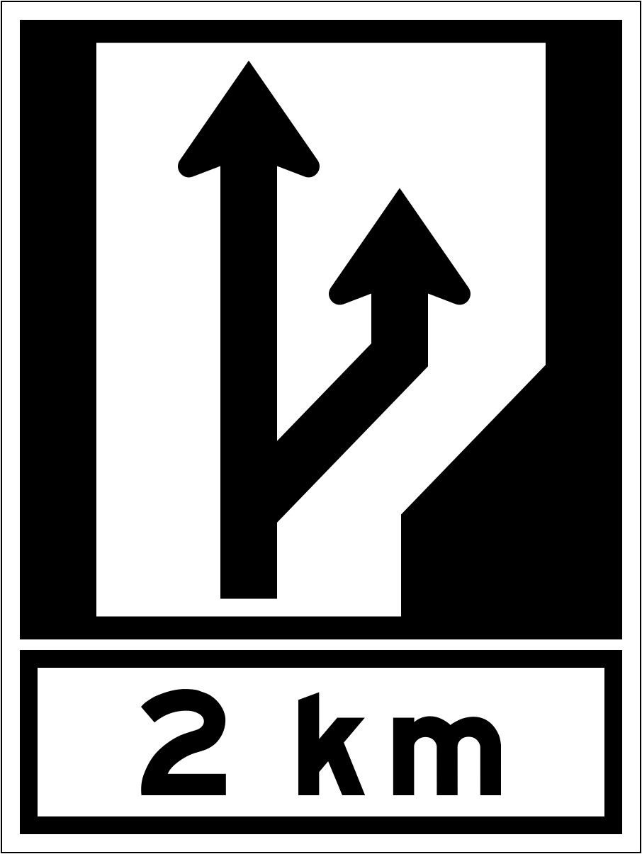
Advance signs tell you a passing or climbing lane is coming; slower traffic should keep right.
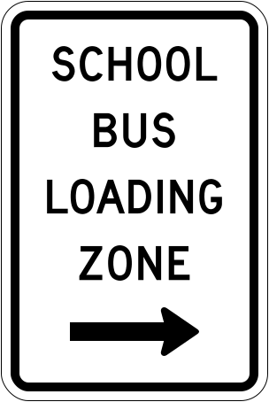
In a school bus loading zone, buses load without red alternating lights or stop arms, so watch carefully for children.
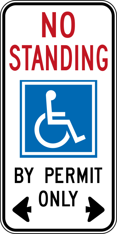
Only vehicles displaying a valid Accessible Parking Permit may stop here, to pick up or drop off passengers.
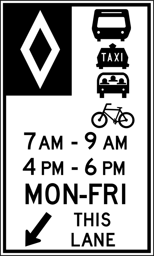
The diamond marks a reserved lane; only the vehicles shown may use it during the posted times.
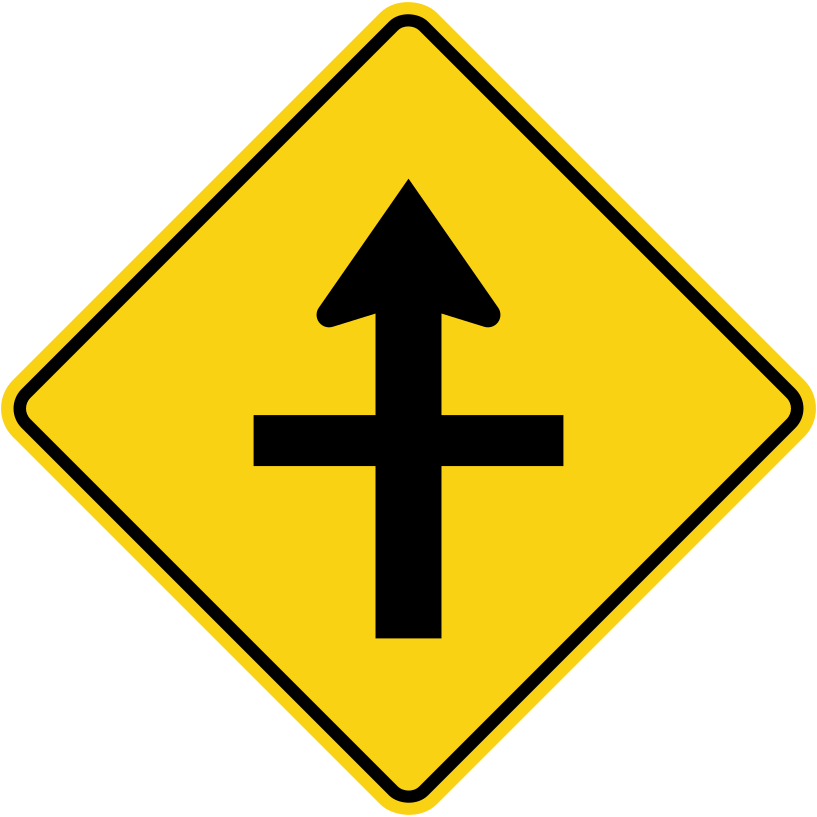
The wider line shows the through road with priority; side-road traffic must yield.
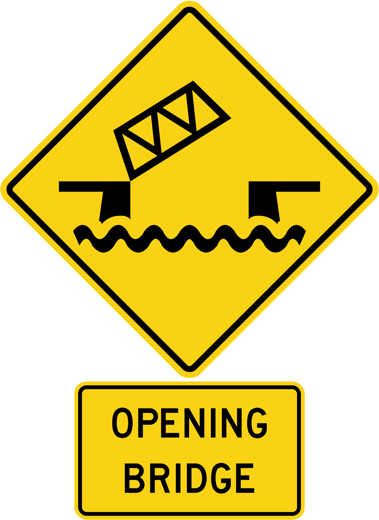
Be ready to stop if the bridge is opening for boat traffic.
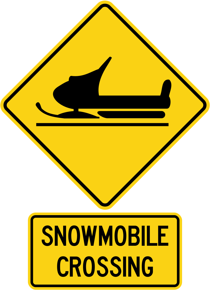
Watch for snowmobiles crossing the road.
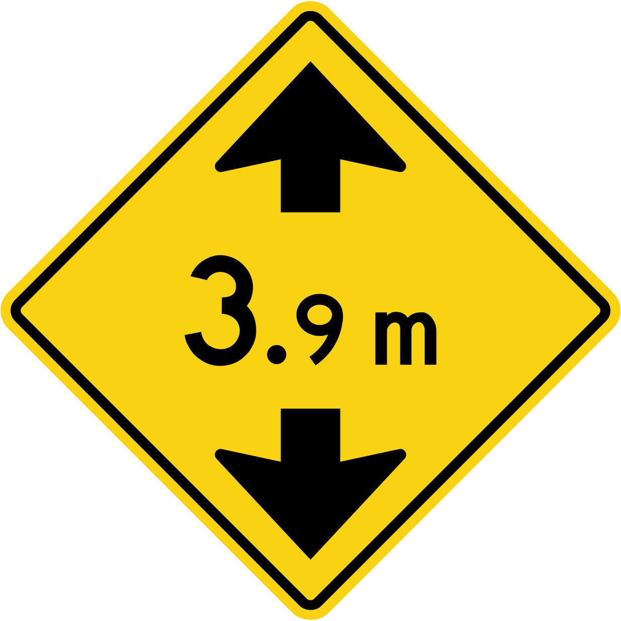
Tall vehicles must check that they fit under the structure.
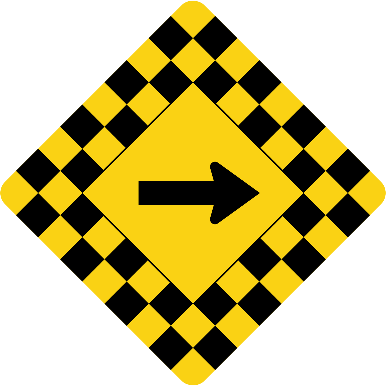
Signs with a checkerboard border mark especially sharp turns where you must slow right down.
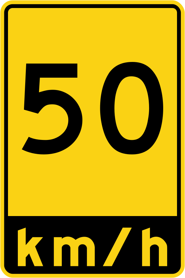
This advisory sign gives the safe speed for an exit or entrance ramp.
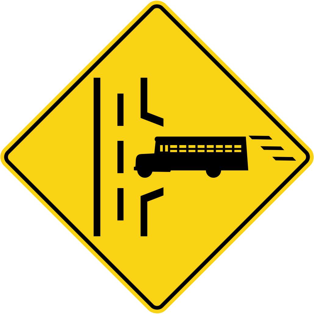
Buses may enter the road from the side; slow down and yield to them.
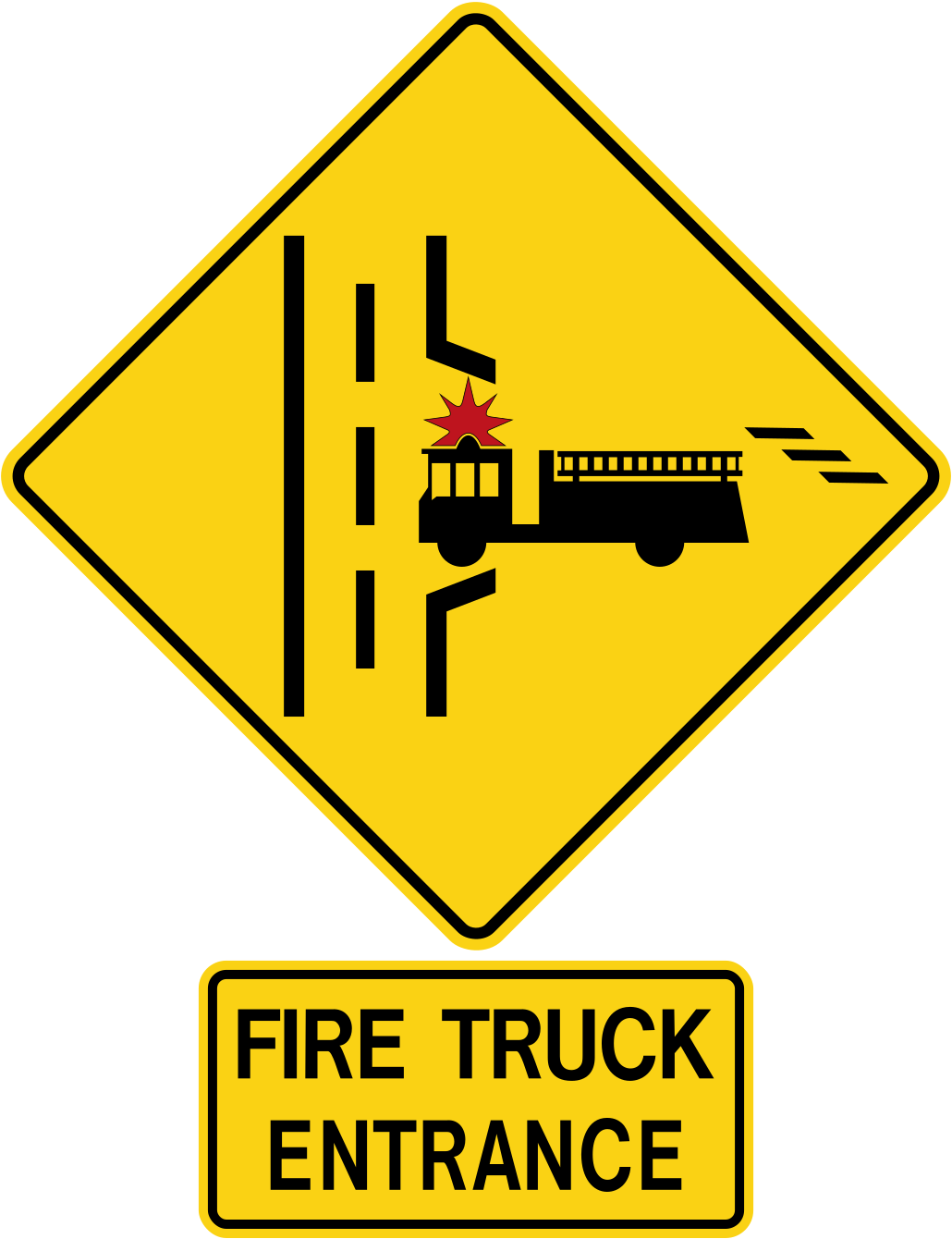
Fire trucks may enter the road here; be ready to stop and let them out.
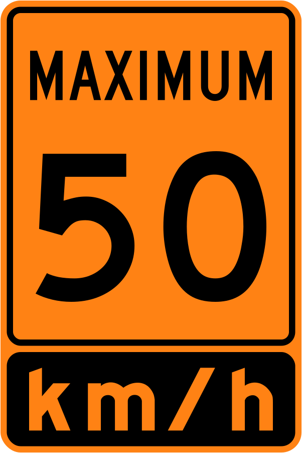
Orange speed signs in work zones are legal limits, and speeding fines double when workers are present.
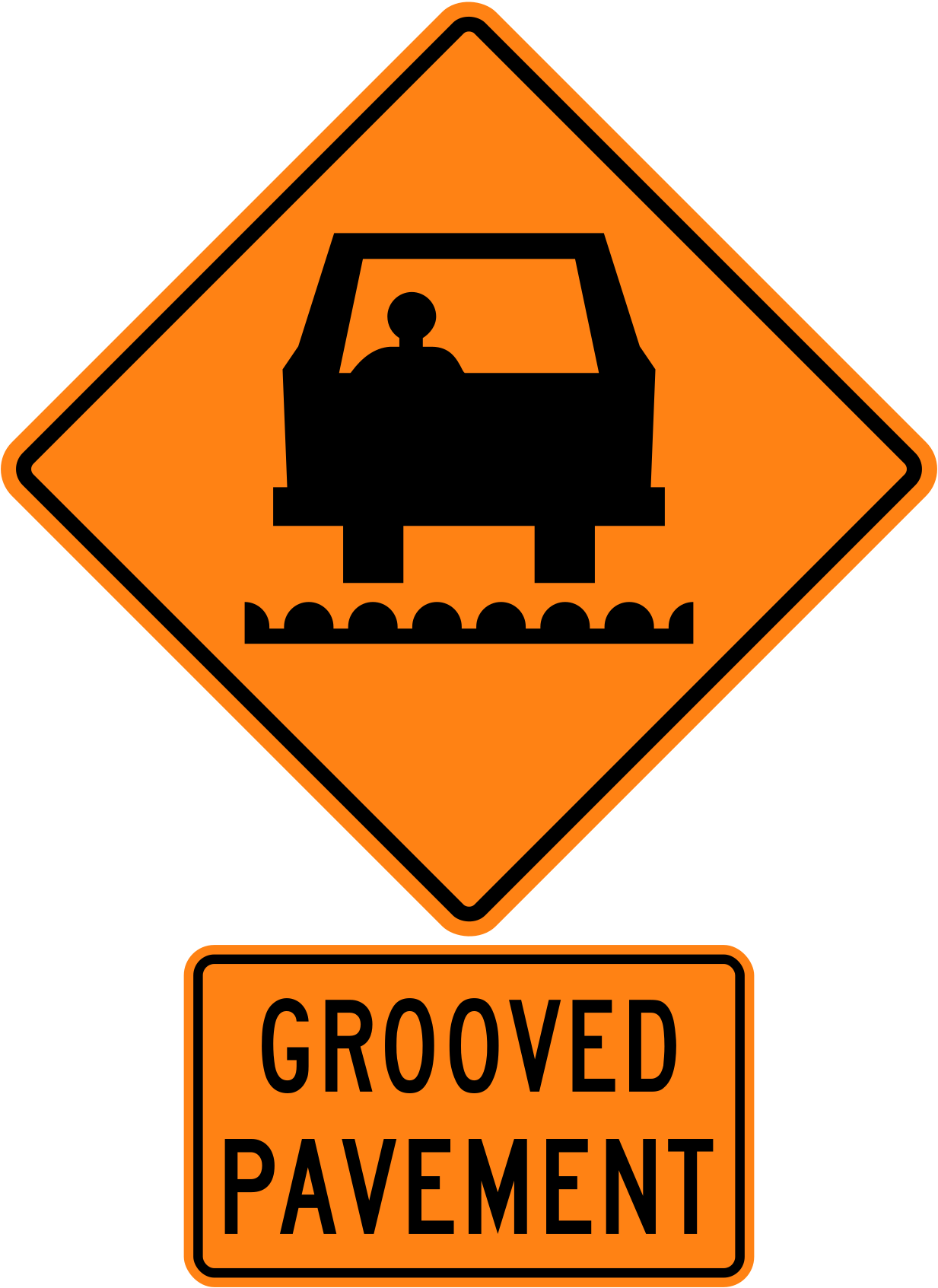
Grooved surfaces reduce braking ability and can make motorcycles unstable; slow down.
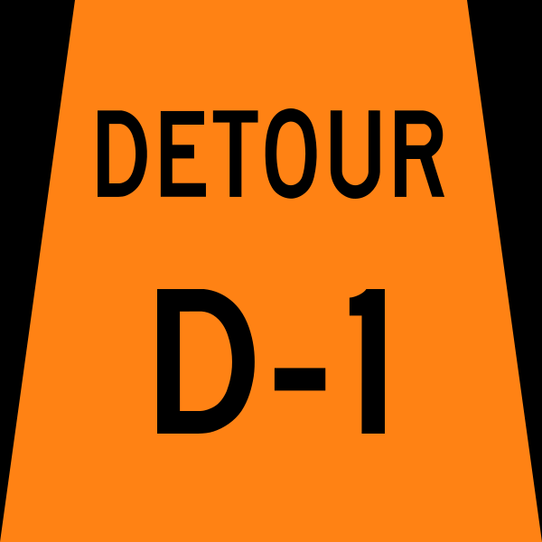
Detour markers lead you around a closure and back to your normal route.
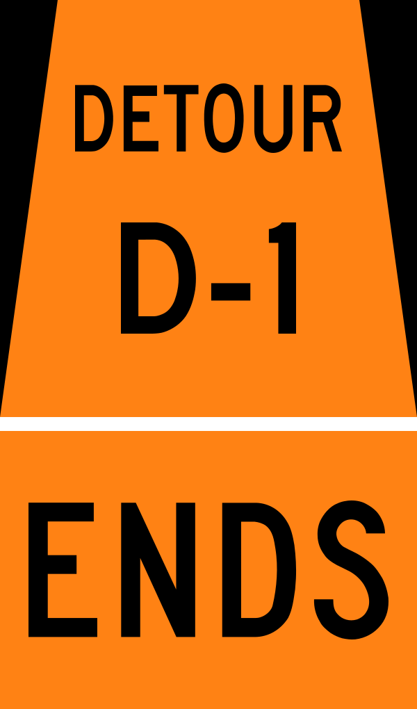
This sign marks the end of the temporary detour.
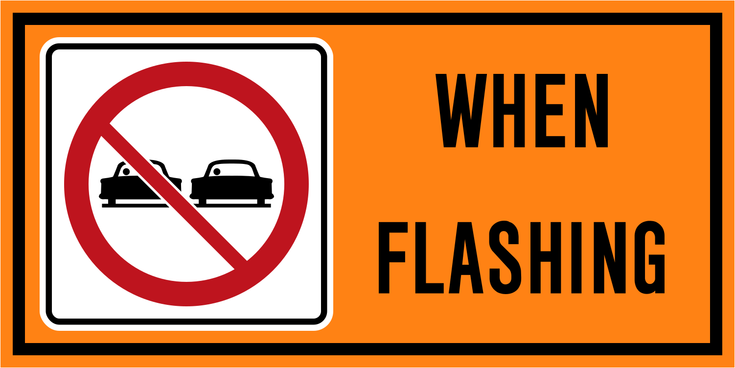
Pilot and pace vehicles guide traffic through work zones; passing them is not allowed.
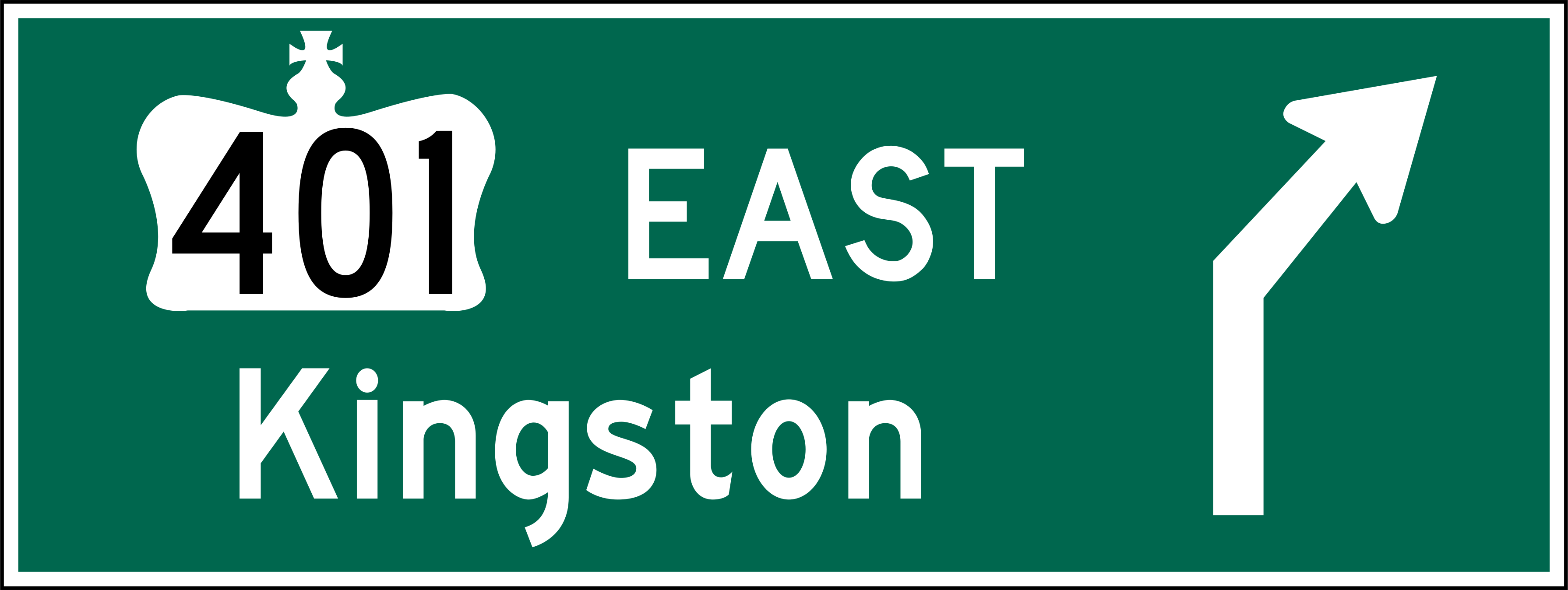
Green guide signs show the route and direction to towns, cities and highways.
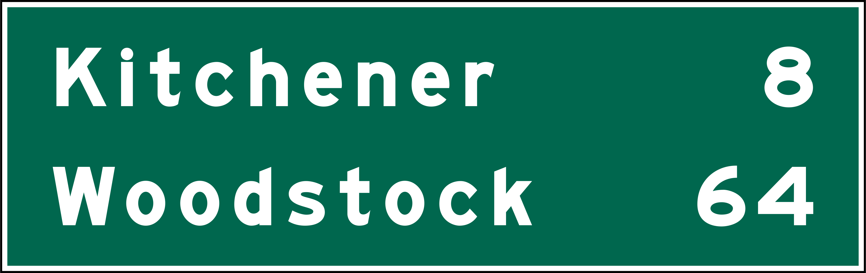
Distance signs list upcoming destinations and how many kilometres away they are.
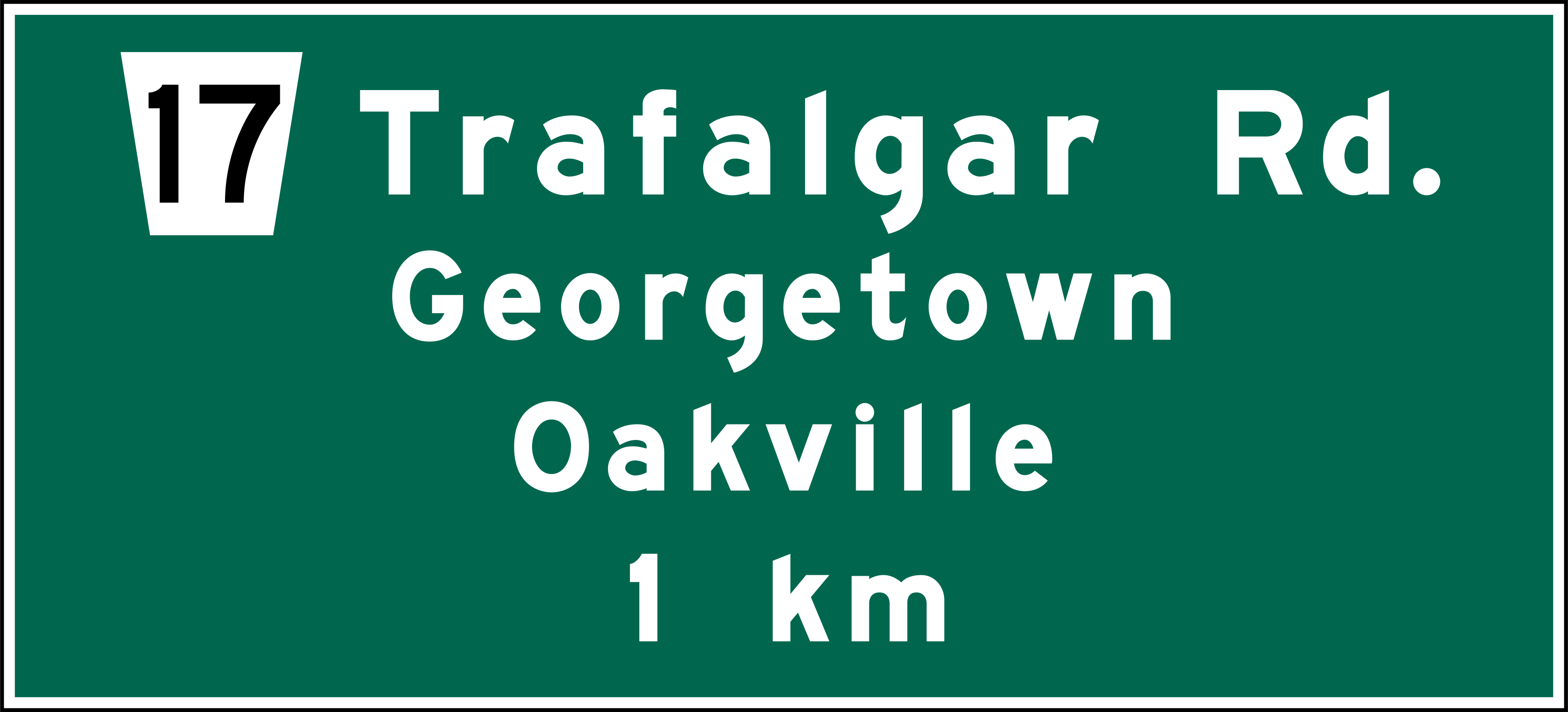
Advance exit signs give you time to move into the correct lane before the exit.
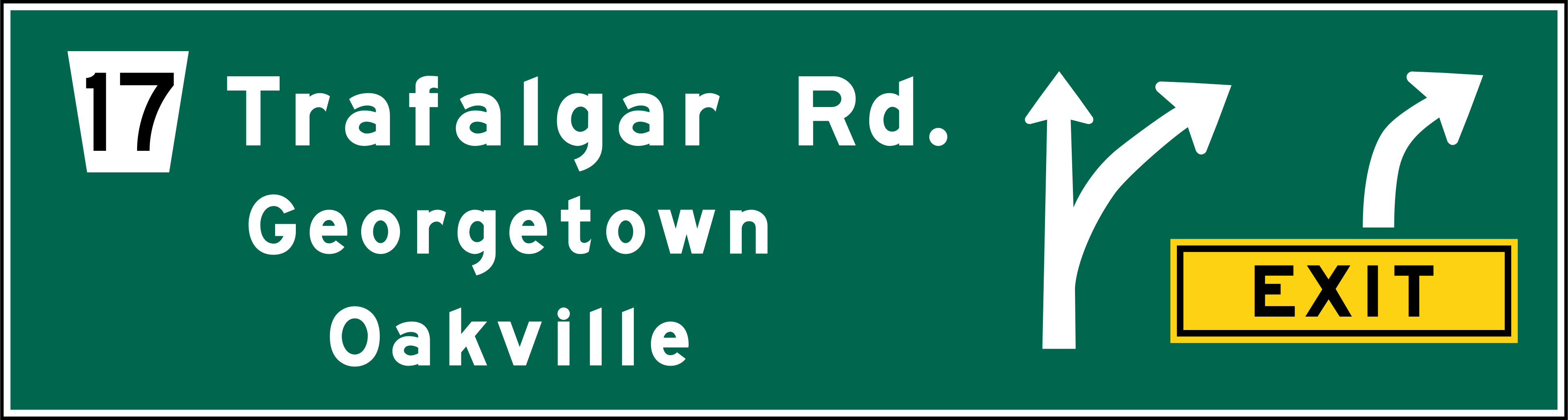
Arrows in a yellow box marked "exit" show which lane leads off the freeway.
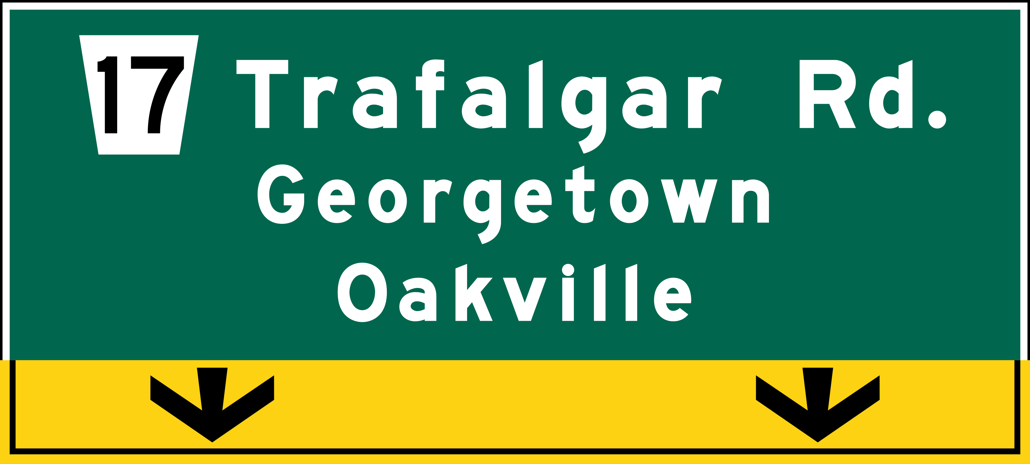
Overhead signs help you choose your lane; yellow "exit only" panels mark lanes that must leave the freeway.
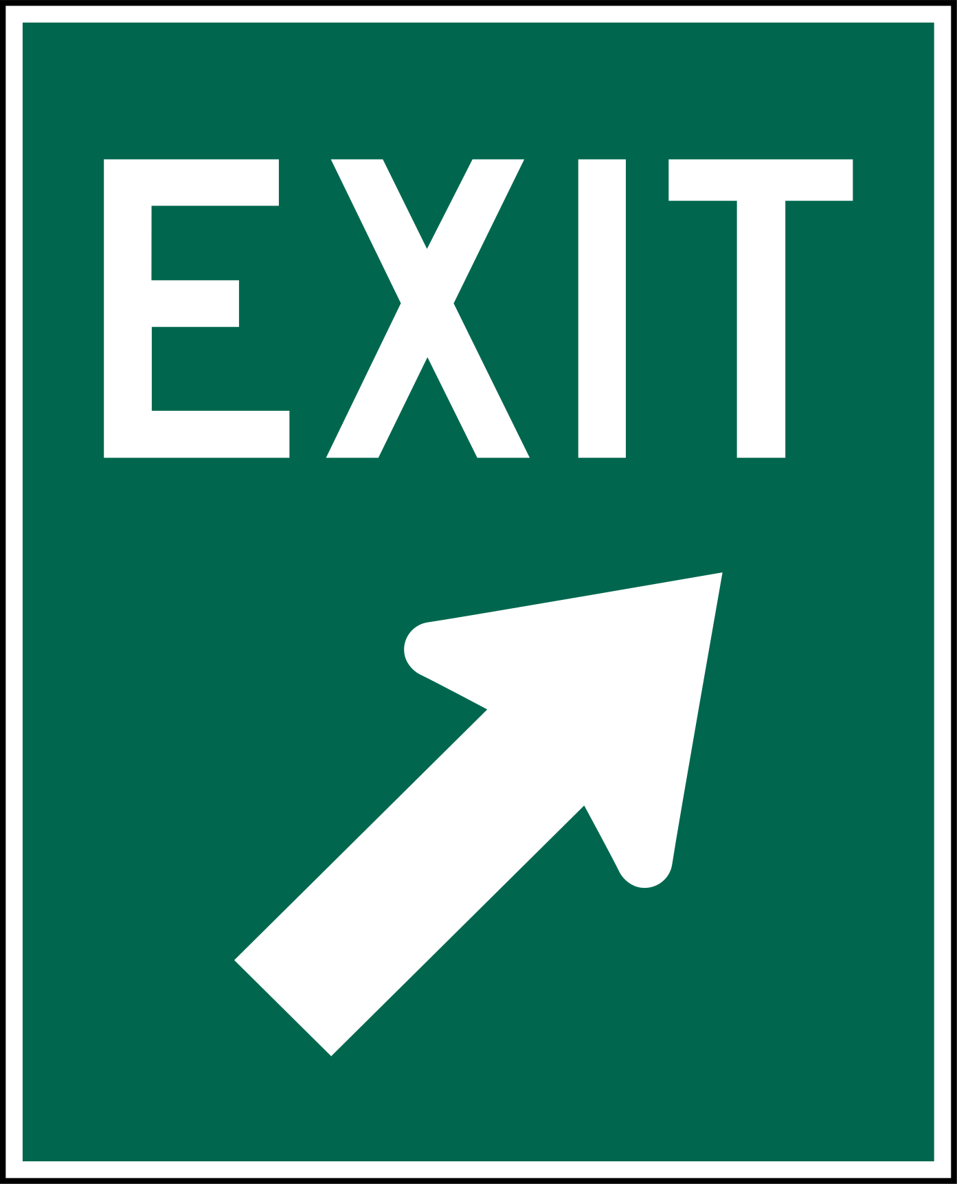
This sign is placed where the exit ramp leaves the freeway.
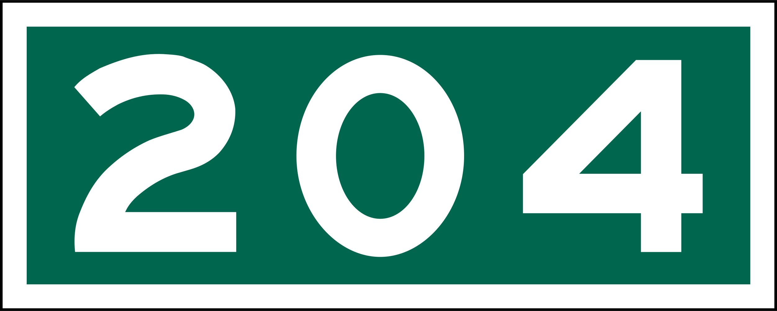
Interchange numbers tell you roughly how many kilometres you are from the start of the freeway.
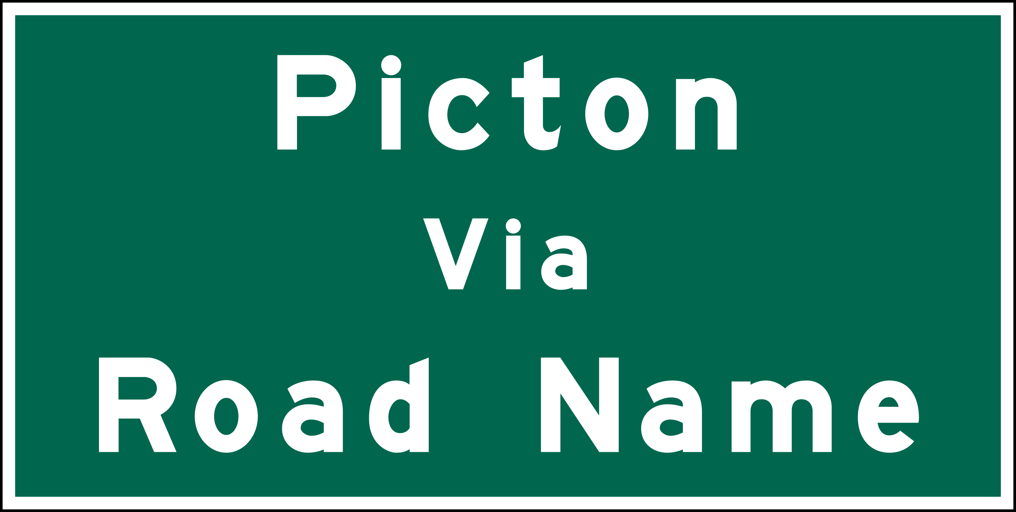
VIA signs name the road you should take to reach the destination shown.
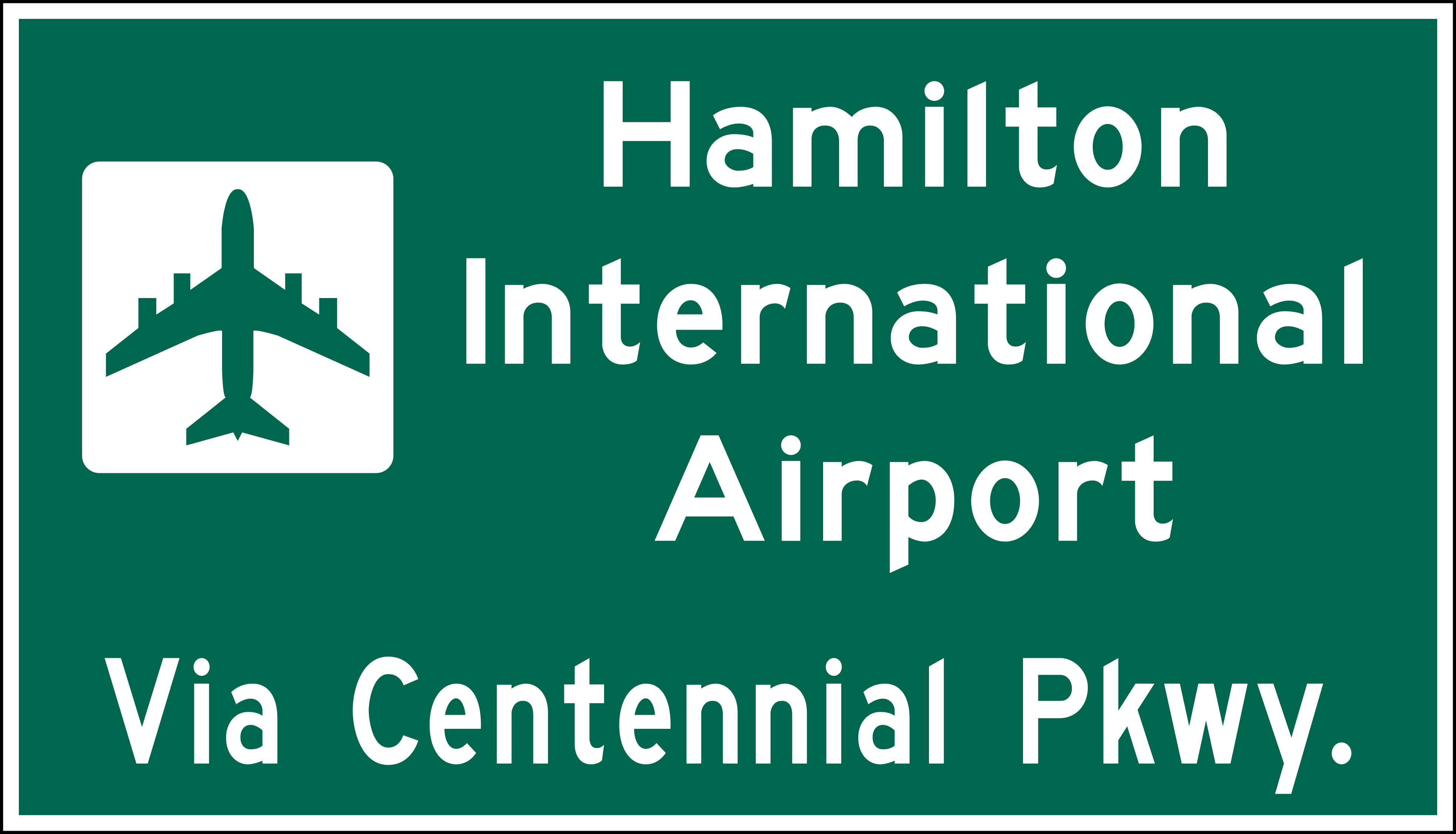
Off-road facility signs guide you to places like airports, hospitals and universities.
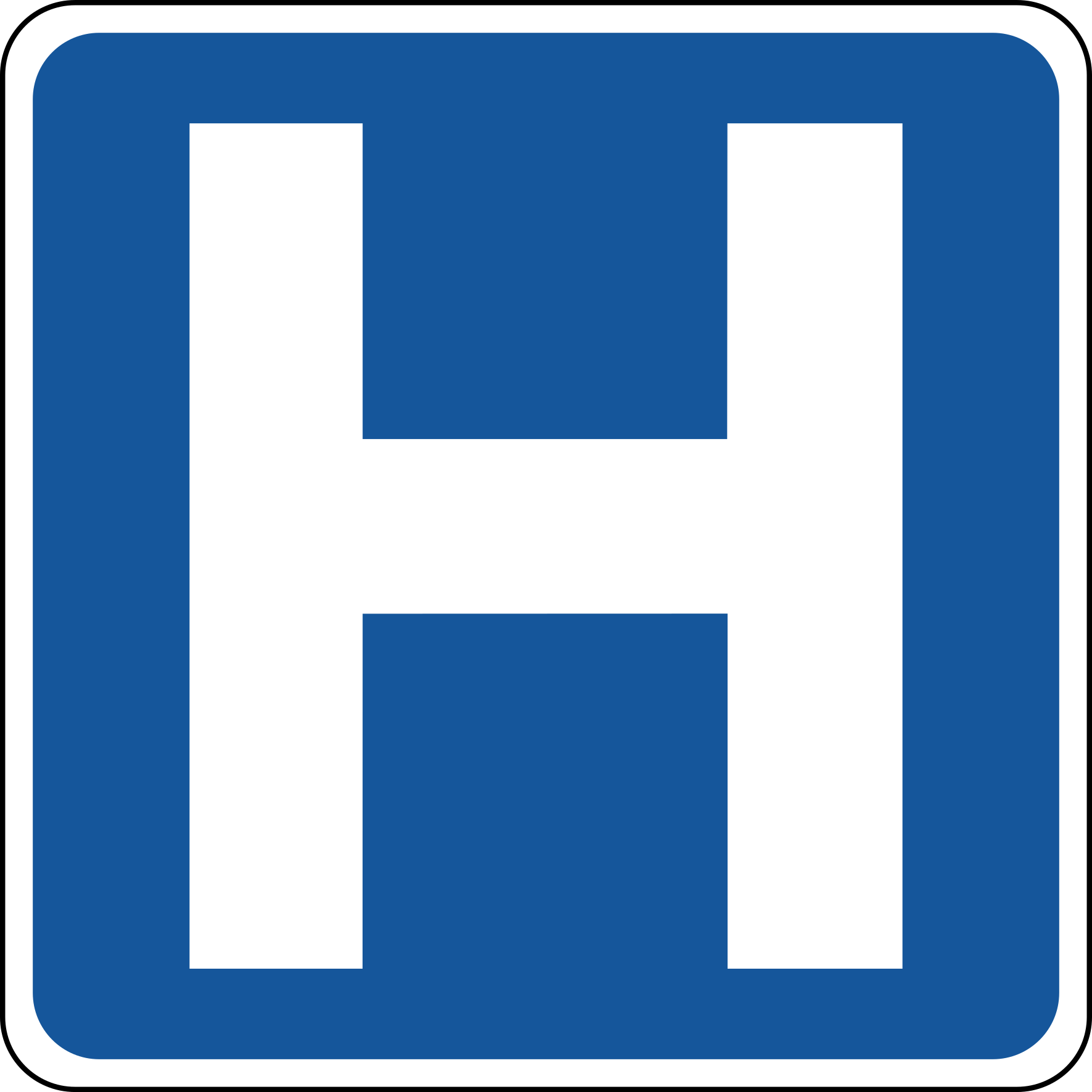
Off-road facility signs like this guide you to hospitals.
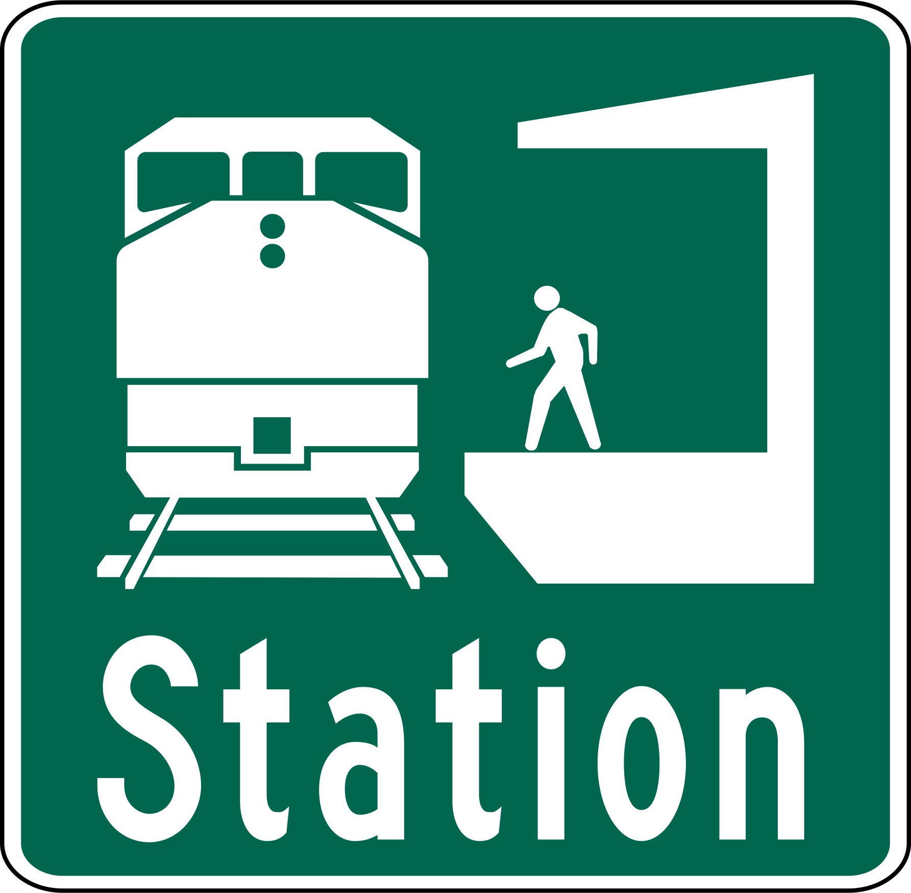
This green guide sign shows the way to a passenger train station.
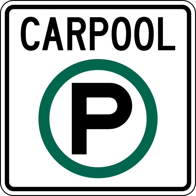
Carpool lots let drivers leave their car and continue together in one vehicle.
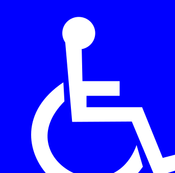
This symbol marks facilities that can be used by people in wheelchairs.
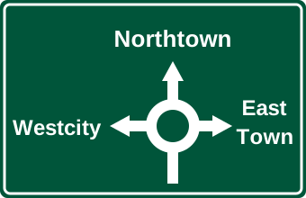
Roundabout exit signs show the layout of the roundabout and where each exit goes.
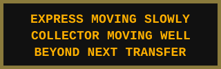
Electronic message signs show up-to-date traffic conditions; read them and adjust your route or speed.
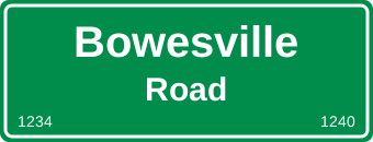
The numbers along the bottom of some street signs help emergency vehicles and drivers choose their route.
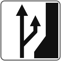
This sign shows that the road splits, with one branch going off to the right.
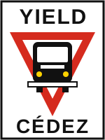
When a bus signals to leave a dedicated bus stop, drivers approaching from behind must let it re-enter traffic.
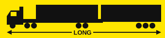
LCVs are very long and speed-limited, so passing them takes more time and space.
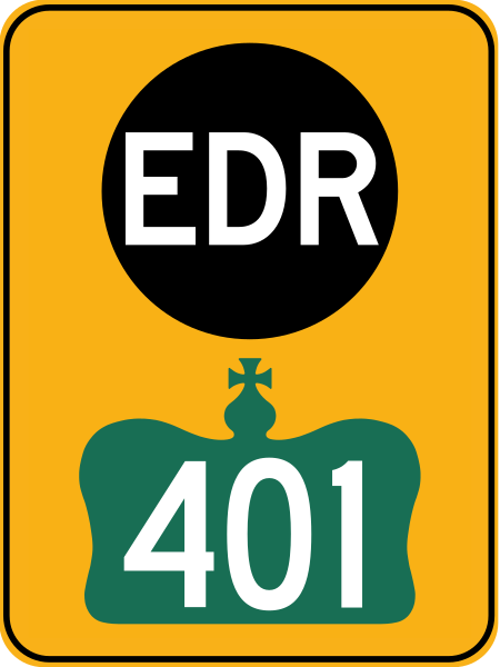
EDR signs mark alternative routes used during unscheduled highway closures.

Oversize loads may be wider and slower than normal traffic; keep back and pass only when safe.
Sign images follow the Ontario Traffic Manual designs (source: Wikimedia Commons, public domain). Unofficial practice test. Questions are written in our own words from the Official Ontario MTO Driver's Handbook; real test questions may differ. Fines and rules change — check ontario.ca.